Verde River Map
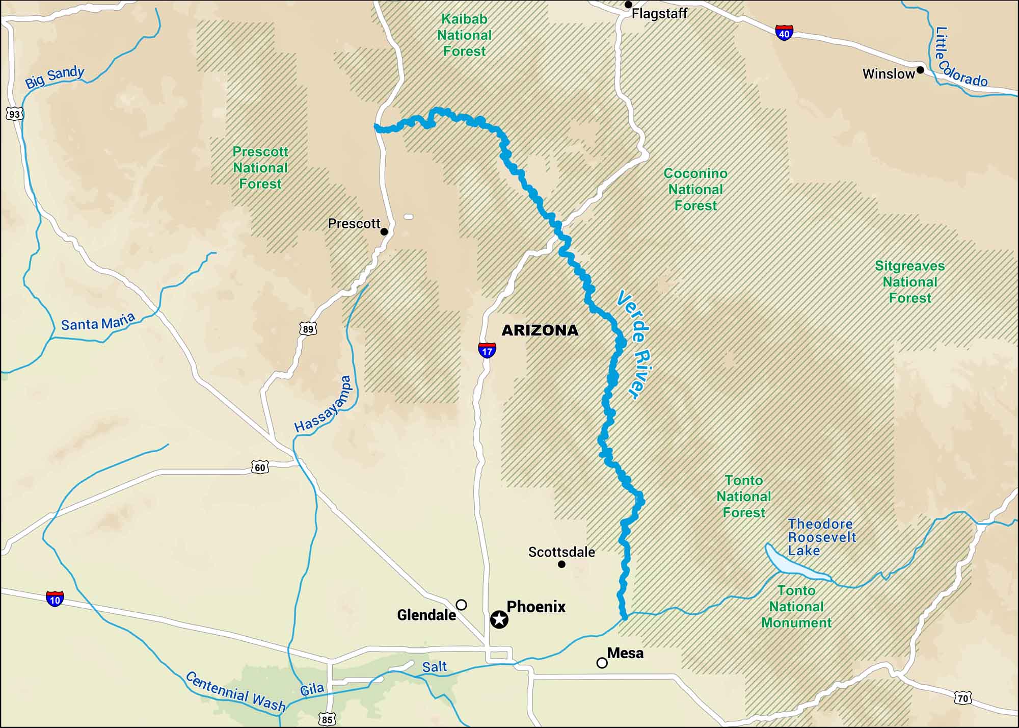
Our map of the Verde River shows one of the few rivers in Arizona that still flows year-round. It winds through desert cliffs and green valleys of Coconino National Forest. You can’t really understand central Arizona until you’ve seen this river.
Map Information
On the Map
Interstates: I-17, I-40 Major Highways: US Hwy 60, US Hwy 89, US Hwy 93, US Hwy 180 Rivers/Lakes/Bays/Reservoirs/Oceans: Verde River, Salt River, Gila River, Little Colorado River, Bartlett Reservoir, Horseshoe Reservoir National Forests and Parks: Grand Canyon National Park, Coconino National Forest, Prescott National Forest, Tonto National Forest, Kaibab National Forest States: Arizona Cities/Towns: Phoenix, Flagstaff, Prescott, Sedona, Camp Verde, Scottsdale
US Maps
Lakes and Rivers Map
Our map of America’s lakes and rivers shows the major waterways that define the country’s landscape.
Waterway Maps
Explore America’s waterways.


