Santa Maria River Map
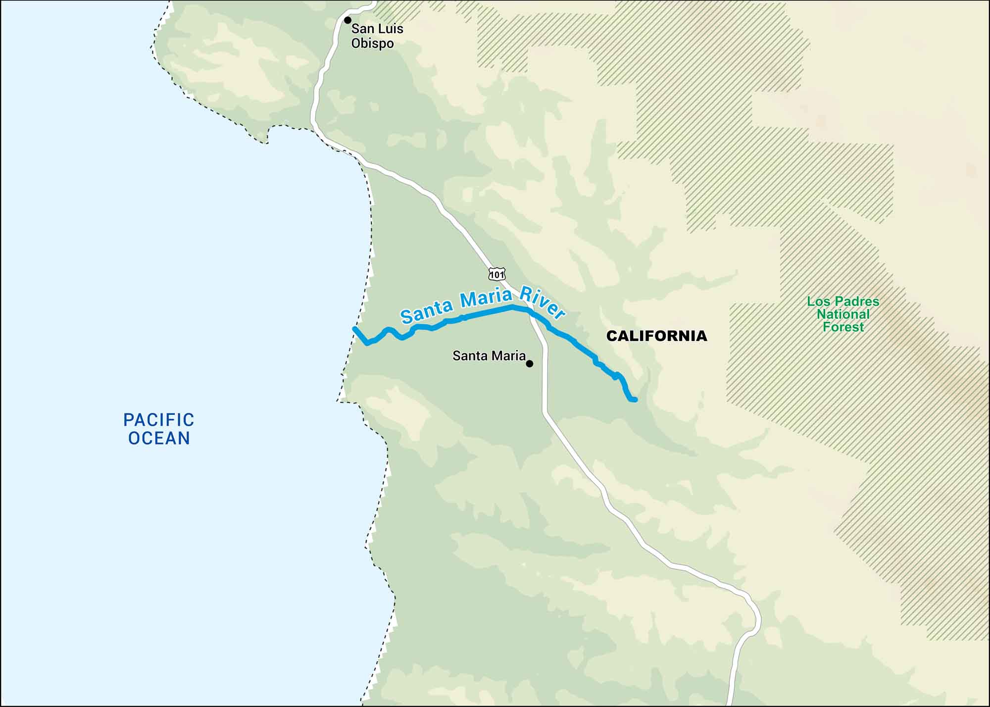
Our map of the Santa Maria River shows where it cuts between the coastal ranges of central California. It’s short but important. This is because it feeds farms and vineyards near the ocean before emptying into the Pacific.
Map Information
On the Map
Major Highways: US Hwy 101 Rivers/Oceans: Santa Maria River, Pacific Ocean National Forests: Los Padres National Forest States: California Cities/Towns: Santa Maria, San Luis Obispo
US Maps
Lakes and Rivers Map
Our map of America’s lakes and rivers shows the major waterways that define the country’s landscape.
Waterway Maps
Explore America’s waterways.


