Passaic River Map
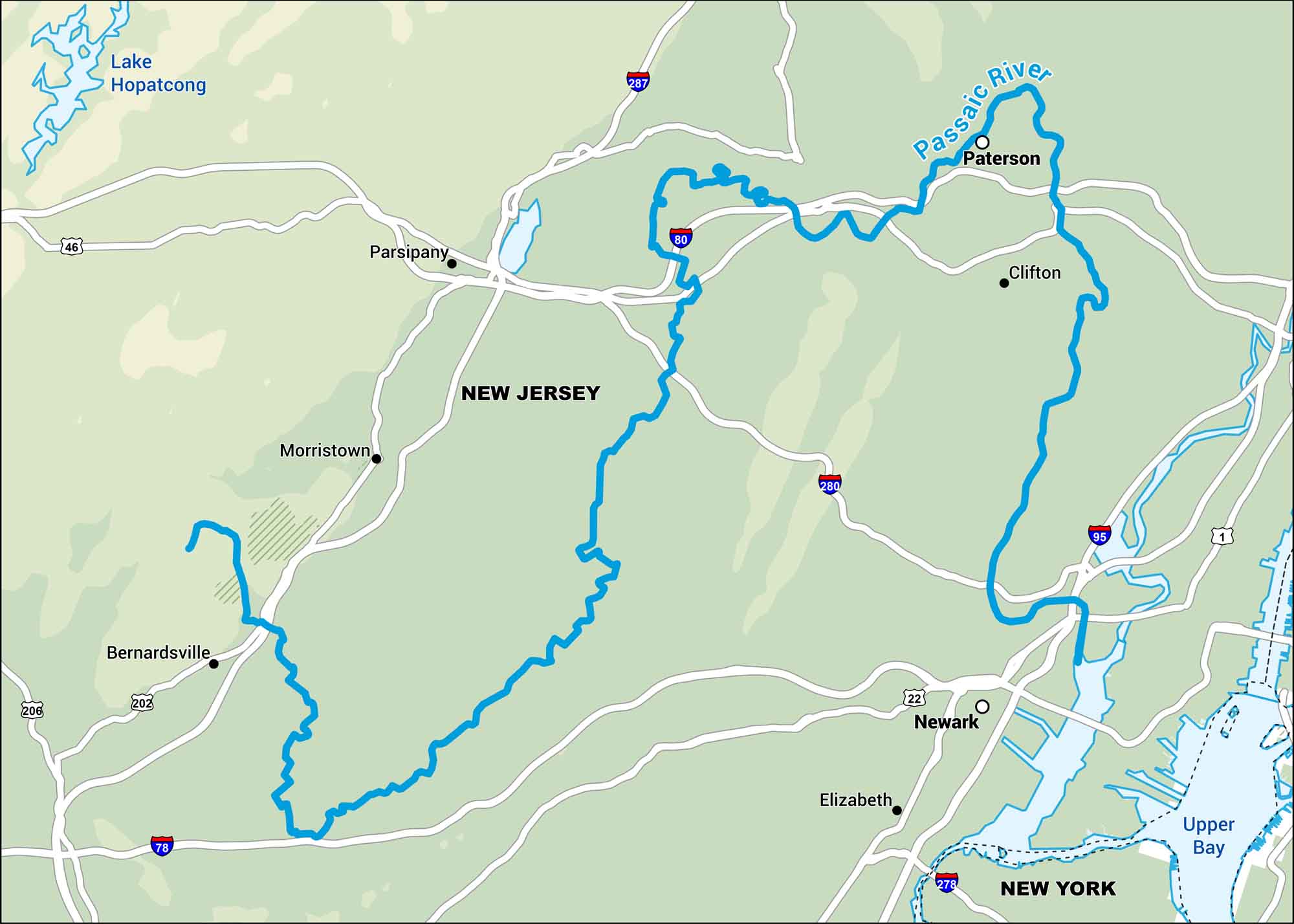
The Passaic River flows through northern New Jersey, looping around cities like Paterson and Newark. It’s a historic river that travels through a mix of industry and green space.
Map Information
On the Map
Interstates: I-80, I-287, I-280, I-95, I-78, I-278 Major Highways: US Hwy 46, US Hwy 202, US Hwy 206, US Hwy 22, US Hwy 1 Rivers/Lakes/Bays: Passaic River, Lake Hopatcong, Upper Bay States: New Jersey, New York Cities/Towns: Paterson, Clifton, Newark, Elizabeth, Morristown, Parsippany, Bernardsville
US Maps
Lakes and Rivers Map
Our map of America’s lakes and rivers shows the major waterways that define the country’s landscape.
Waterway Maps
Explore America’s waterways.


