Ouachita River Map
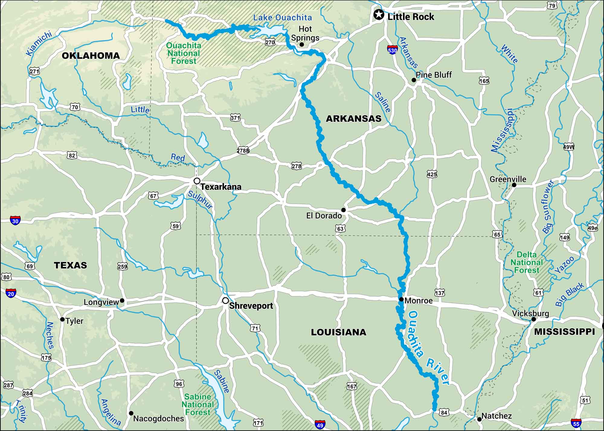
This map shows the Ouachita River running through western Arkansas and northern Louisiana. Its slow, winding path passes through wildlife refuges and the Ouachita National Forest.
Map Information
On the Map
Interstates: I-30, I-530, I-20, I-55, I-49 Major Highways: US Hwy 70, US Hwy 67, US Hwy 82, US Hwy 59, US Hwy 71, US Hwy 167, US Hwy 165, US Hwy 65, US Hwy 61, US Hwy 84, US Hwy 271, US Hwy 270, State Rte 371, State Rte 278, State Rte 425, State Rte 137 Major Rivers: Ouachita River, Lake Ouachita, Mississippi River, Red River, Arkansas River, Saline River, Little River, Kiamichi River, Sulphur River, Neches River, Trinity River, Angelina River, Sabine River, Yazoo River, Big Black River, White River, Big Sunflower River National Forests and Parks: Ouachita National Forest, Delta National Forest, Sabine National Forest States: Oklahoma, Arkansas, Texas, Louisiana, Mississippi Cities/Towns: Little Rock, Hot Springs, Pine Bluff, Texarkana, El Dorado, Monroe, Shreveport, Longview, Tyler, Nacogdoches, Natchez, Vicksburg, Greenville
US Maps
Lakes and Rivers Map
Our map of America’s lakes and rivers shows the major waterways that define the country’s landscape.
Waterway Maps
Explore America’s waterways.


