Eagle River Map
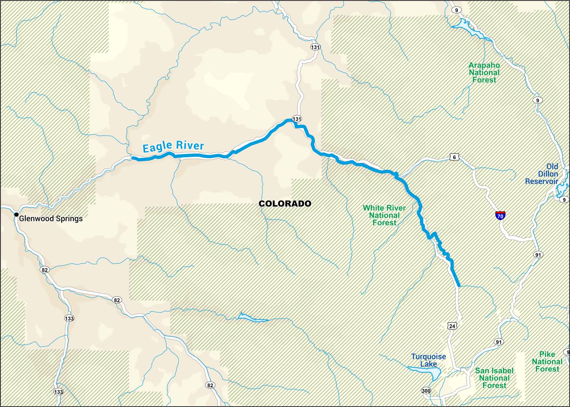
Rising high in Colorado’s Rockies, the Eagle River runs in White River National Forest. It’s cold, fast, and clear. Our map tracks its path through quiet mountain towns.
Map Information
On the Map
Interstates: I-70 Major Highways: US Hwy 6, US Hwy 24, State Rte 9, State Rte 82, State Rte 91, State Rte 131, State Rte 133, State Rte 300 Rivers/Lakes: Eagle River, Turquoise Lake, Old Dillon Reservoir Major Forests: White River National Forest, Arapaho National Forest, San Isabel National Forest, Pike National Forest States: Colorado Cities/Towns: Glenwood Springs
US Maps
Lakes and Rivers Map
Our map of America’s lakes and rivers shows the major waterways that define the country’s landscape.
Waterway Maps
Explore America’s waterways.


