Cuyahoga River Map
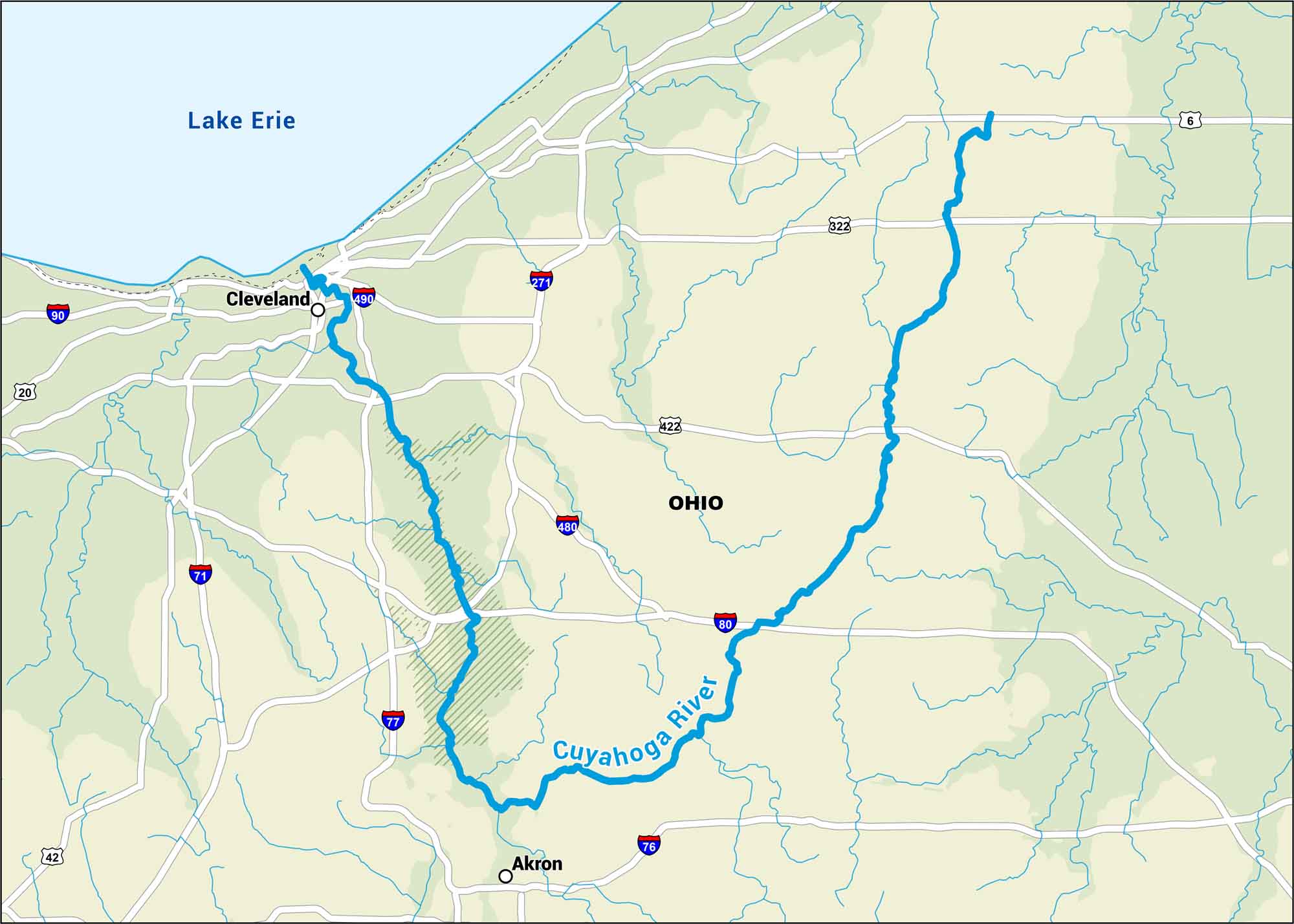
The Cuyahoga River curves through northeast Ohio, looping through Cleveland before meeting Lake Erie. Get to know this river better using our map with highways, rivers and major cities.
Map Information
On the Map
Interstates: I-71, I-76, I-77, I-80, I-90, I-271, I-480, I-490 Major Highways: US Hwy 6, US Hwy 20, US Hwy 42, US Hwy 322, US Hwy 422 Rivers/Lakes: Cuyahoga River, Lake Erie States: Ohio Cities/Towns: Cleveland, Akron
US Maps
Lakes and Rivers Map
Our map of America’s lakes and rivers shows the major waterways that define the country’s landscape.
Waterway Maps
Explore America’s waterways.


