Alabama River Map
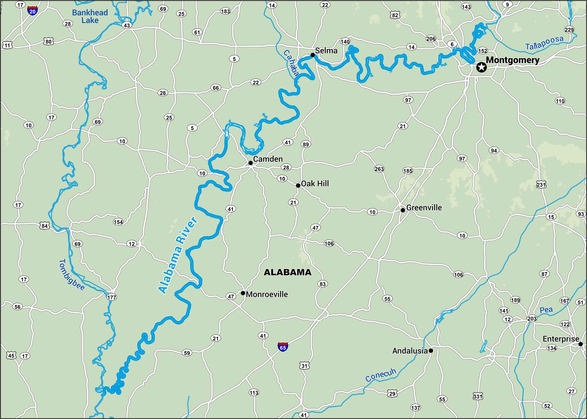
The Alabama River bends through rolling hills and old river towns. Our map follows its broad path south. It’s calm water with a deep sense of history around every curve.
Map Information
On the Map
Interstates/Highways: I-20, I-65 Major Roads: US Hwy 80, US Hwy 82, US Hwy 231, US Hwy 31, US Hwy 331, State Rte 43, State Rte 14, State Rte 22, State Rte 41, State Rte 21, State Rte 10, State Rte 5, State Rte 28, State Rte 25, State Rte 69, State Rte 140, State Rte 110, State Rte 55, State Rte 52 Rivers/Lakes: Alabama River, Tallapoosa River, Tombigbee River, Cahaba River, Conecuh River, Pea River, Bankhead Lake Cities/Towns: Montgomery, Selma, Camden, Greenville, Andalusia, Enterprise, Monroeville, Oak Hill
US Maps
Lakes and Rivers Map
Our map of America’s lakes and rivers shows the major waterways that define the country’s landscape.
Waterway Maps
Explore America’s waterways.


