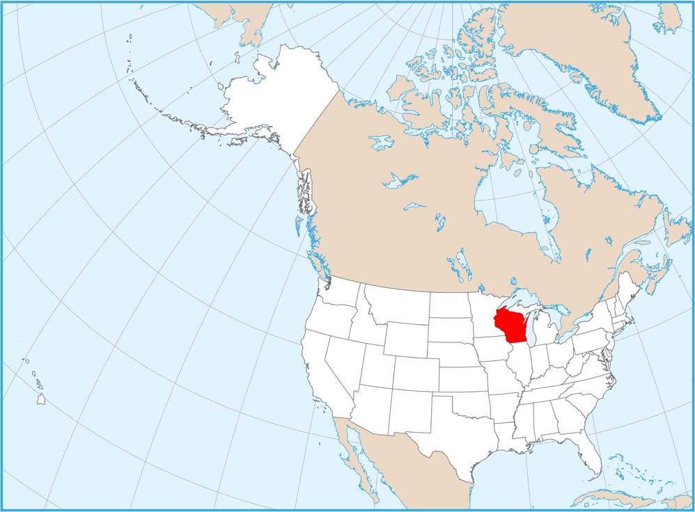
Wisconsin Physical Map

Glaciers carved thousands of lakes across Northern Wisconsin while leaving the southwest untouched. That’s where you’ll find the state’s only real hills and valleys. Lake Michigan and Lake Superior form massive water borders. You can find these geographic features in our physical map of Wisconsin.
Map Information
On the Map
Physical State Maps
Select any state map below to view its physical map.


Wisconsin State Maps
Discover maps of the Badger State.


