Michigan Physical Map
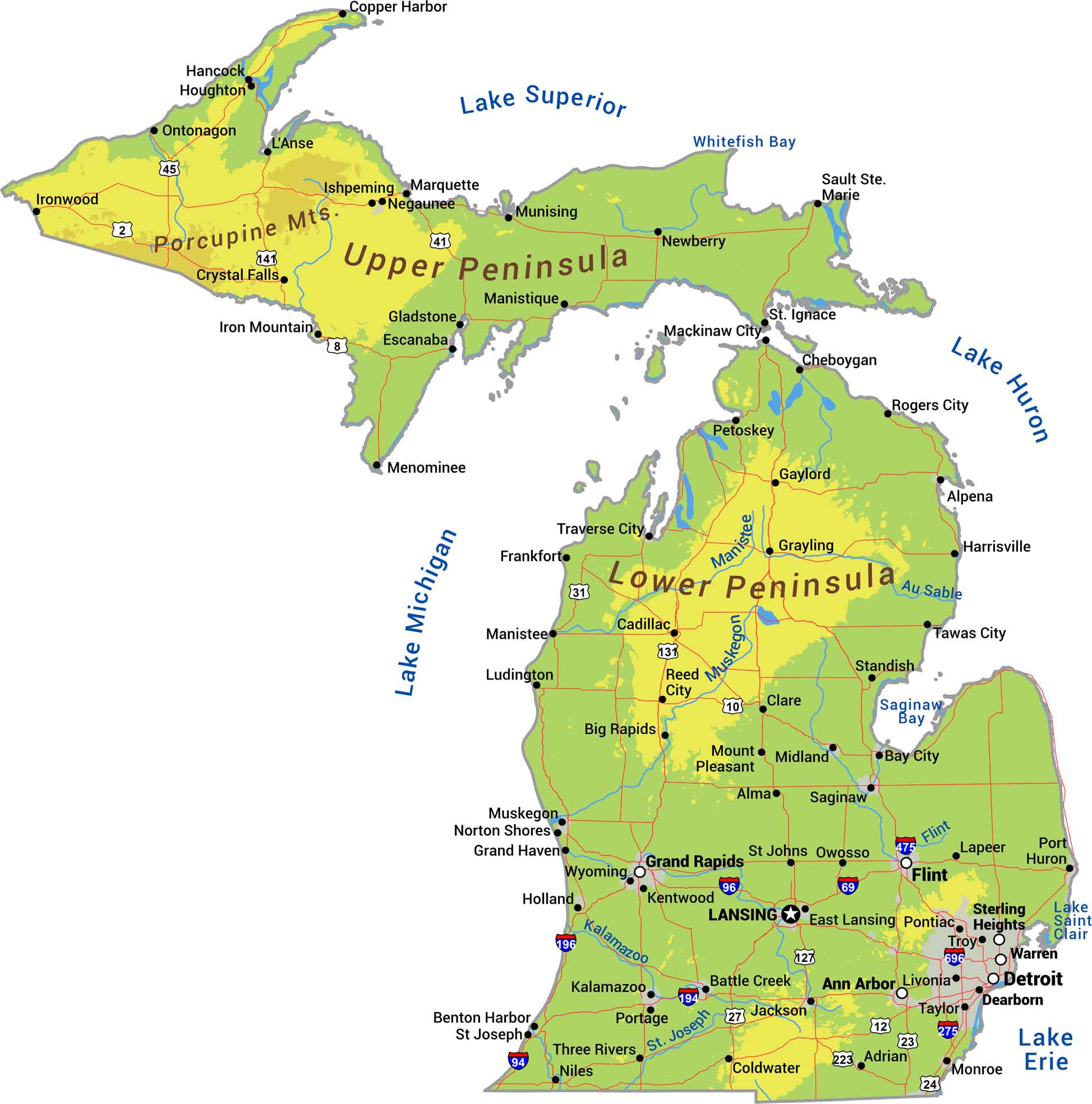
Michigan is two peninsulas surrounded by Great Lakes. The Upper Peninsula is rugged with dense forests and rocky shoreline. The Lower Peninsula is flatter with rolling hills and thousands of inland lakes. Our physical map of Michigan shows 3,200 miles of shoreline.
Map Information
On the Map
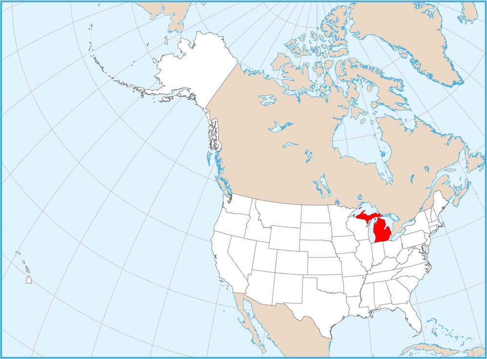
Physical State Maps
Select any state map below to view its physical map.


Michigan State Maps
Get to know Michigan with our detailed maps


