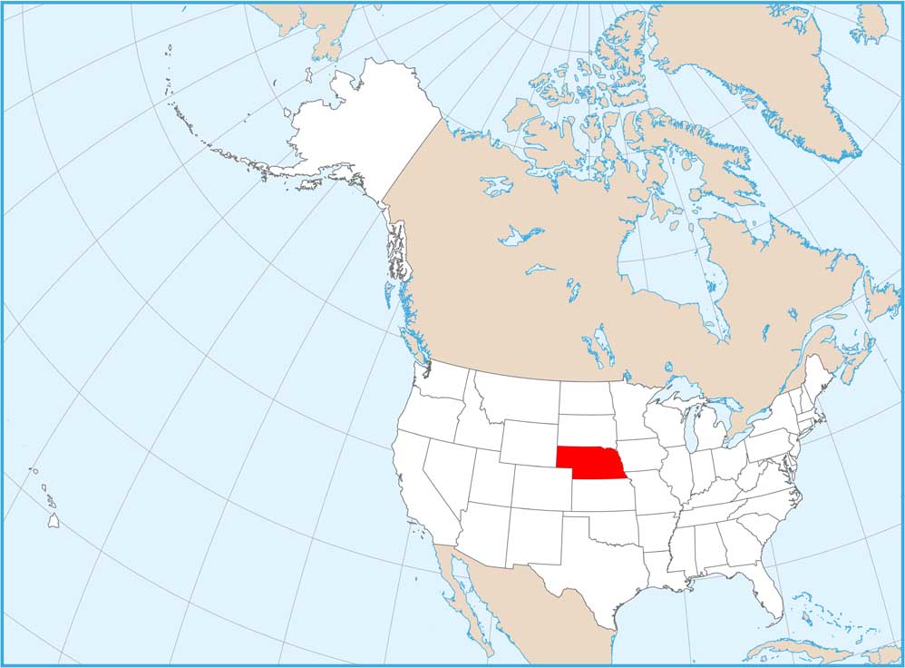
Nebraska Physical Map
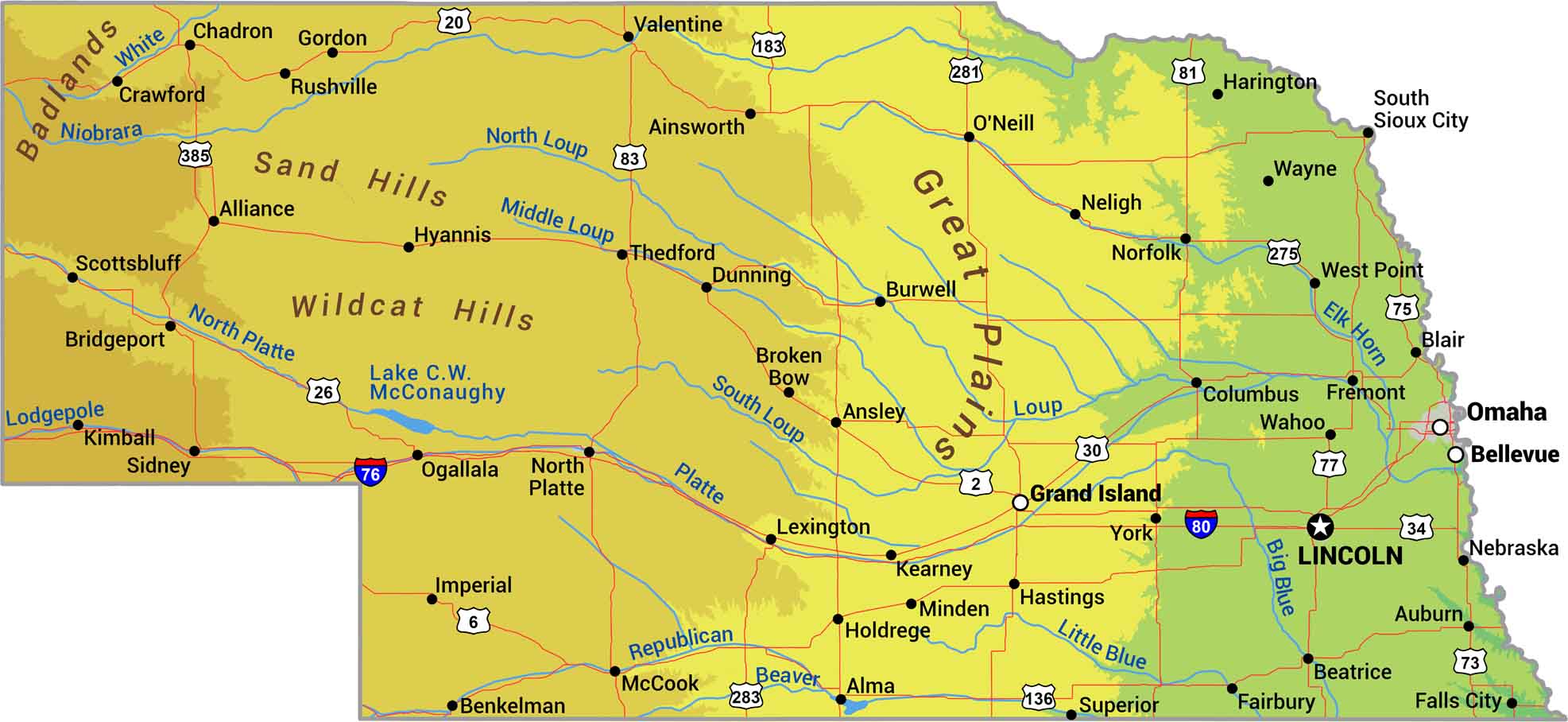
Look west and watch Nebraska rise. The state climbs steadily from 1,000 feet along the Missouri River to over 5,000 feet at the Wyoming border. Our physical map of Nebraska shows geographic features and the gradual climb from eastern farmland to western ranching country.
Map Information
On the Map
Physical State Maps
Select any state map below to view its physical map.


Nebraska State Maps
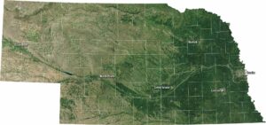
Examine maps showing prairies and cities in Nebraska.