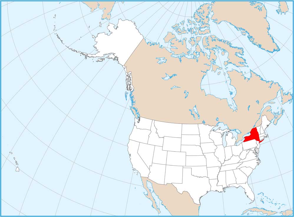
New York Physical Map

Our physical map of New York shows way more than just the city. The Adirondack Mountains rise in the northeast, while the Catskills hold the southeast. You can see it all here like the Finger Lakes region, Niagara Falls, and Long Island stretching into the Atlantic as pure coastal plain.
Map Information
On the Map
Physical State Maps
Select any state map below to view its physical map.


New York State Maps
Find state maps of the Empire State.


