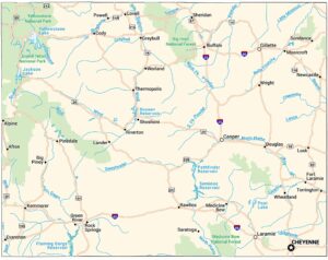
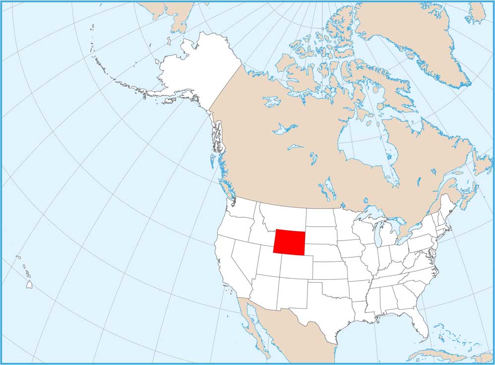
Wyoming Physical Map

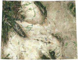
Stand anywhere in Wyoming and you’re probably above 6,000 feet. The Rockies dominate with ranges like the Tetons, Wind River, and Bighorns pushing peaks above 13,000 feet. Yellowstone sits in the northwest corner. Our physical map of Wyoming shows some of America’s most remote mountain terrain.
Map Information
On the Map
Physical State Maps
Select any state map below to view its physical map.


Wyoming State Maps
Check out our maps across wide plains and peaks.