Wisconsin Density Map
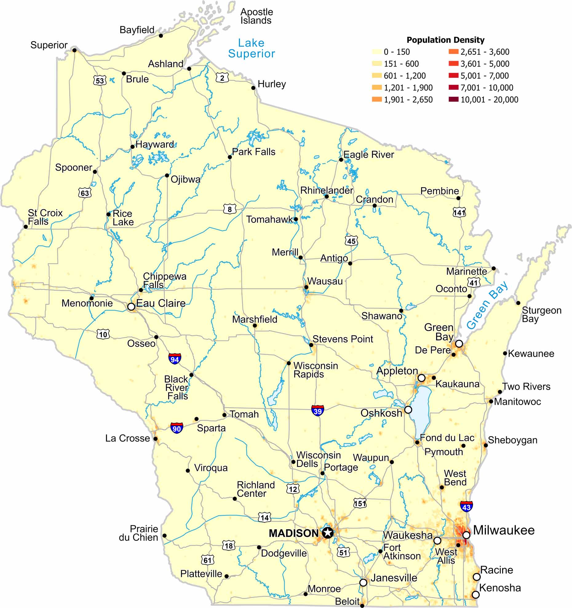
Our population density map of Wisconsin show higher population near large lakes and quieter areas in the northern forests. Cities appear fairly evenly spaced rather than clustered.
Map Information
On the Map
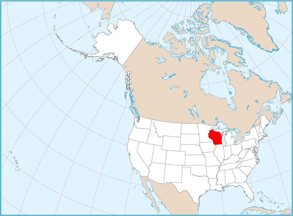
Wisconsin State Maps
Discover maps of the Badger State.


State Population Maps
Select any state map below to view its population density map.


