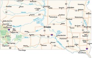
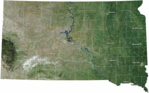
South Dakota Physical Map
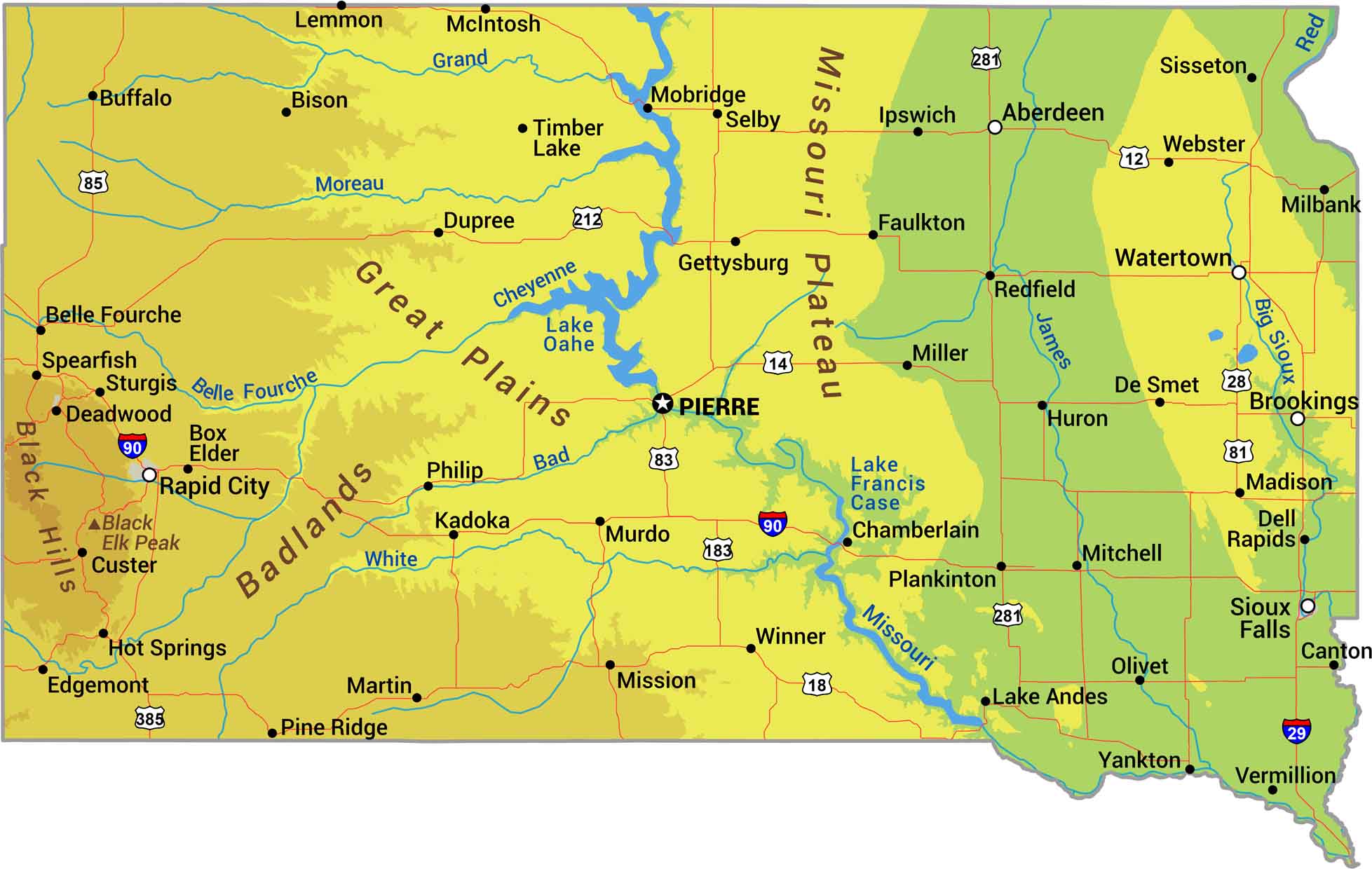
There’s a clear divide at the Missouri River. Everything east is mostly flat prairie while the west brings Great Plains rising into the Black Hills. Those hills are South Dakota’s only real mountains, pushing above 7,000 feet. Our physical map of South Dakota shows its endless farmland and ranching.
Map Information
On the Map
Physical State Maps
Select any state map below to view its physical map.


South Dakota State Maps
View maps from the prairies to the Black Hills.