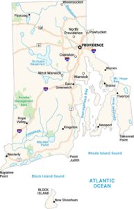
Rhode Island Physical Map
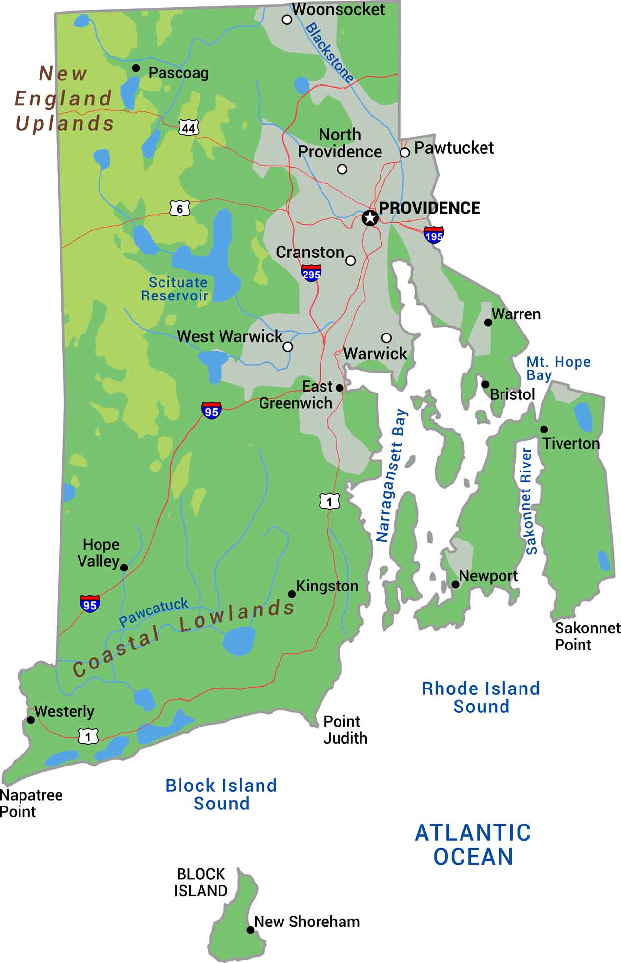
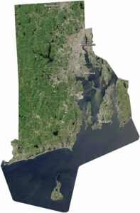
Explore the nation’s smallest state. Rhode Island packs coastal lowlands, Narragansett Bay, and gentle hills into just over 1,000 square miles. Our physical map of Rhode Island shows this compact New England state. The western interior brings modest elevation with forests and rocky terrain. The eastern coast is beaches, barrier islands, and inlets.
Map Information
On the Map
Physical State Maps
Select any state map below to view its physical map.


Rhode Island State Maps
Here are our maps of this compact coastal state.