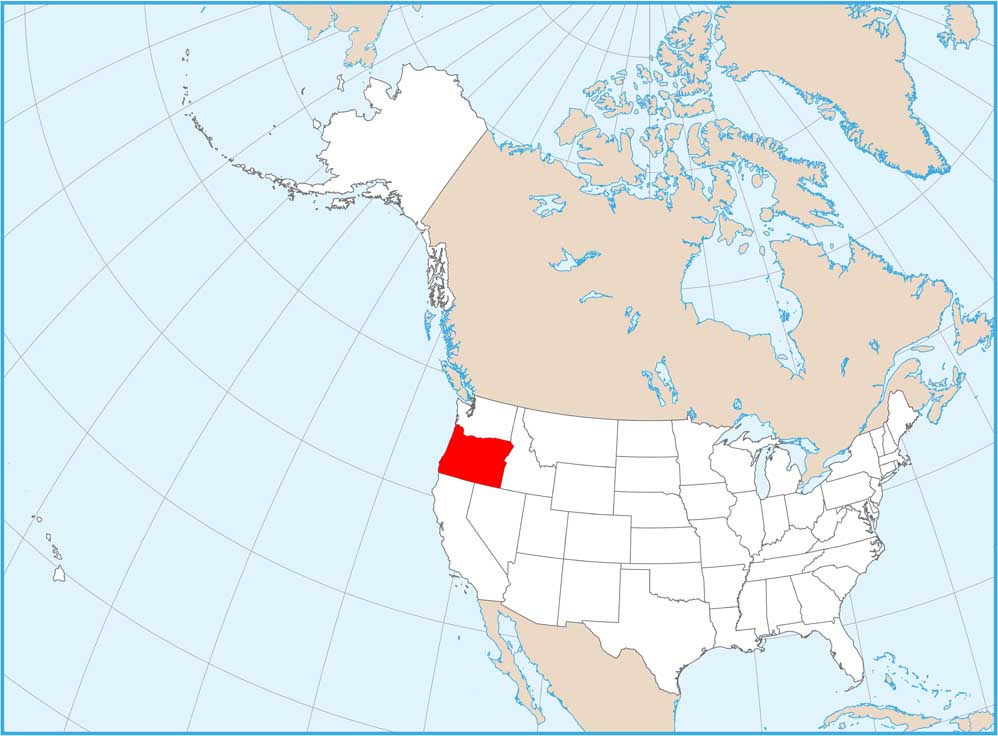
Oregon Physical Map
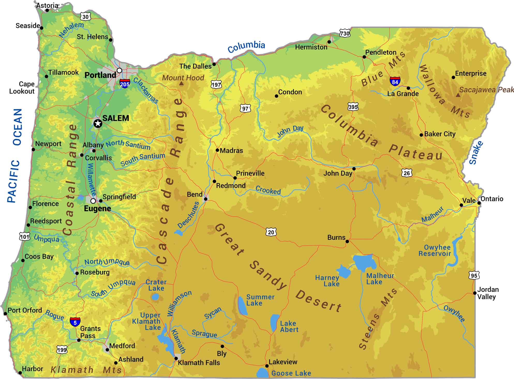
Our physical map of Oregon shows peaks like Mount Hood, the Willamette Valley, and mountain ranges. Oregon splits at the Cascades. The west is coastal ranges, rainforests, and beaches along the Pacific. East of the Cascades, it’s high desert and basin and range terrain stretching to Idaho.
Map Information
On the Map
Physical State Maps
Select any state map below to view its physical map.


Oregon State Maps
Here is our state map collection of Oregon.


