Ohio Population Map
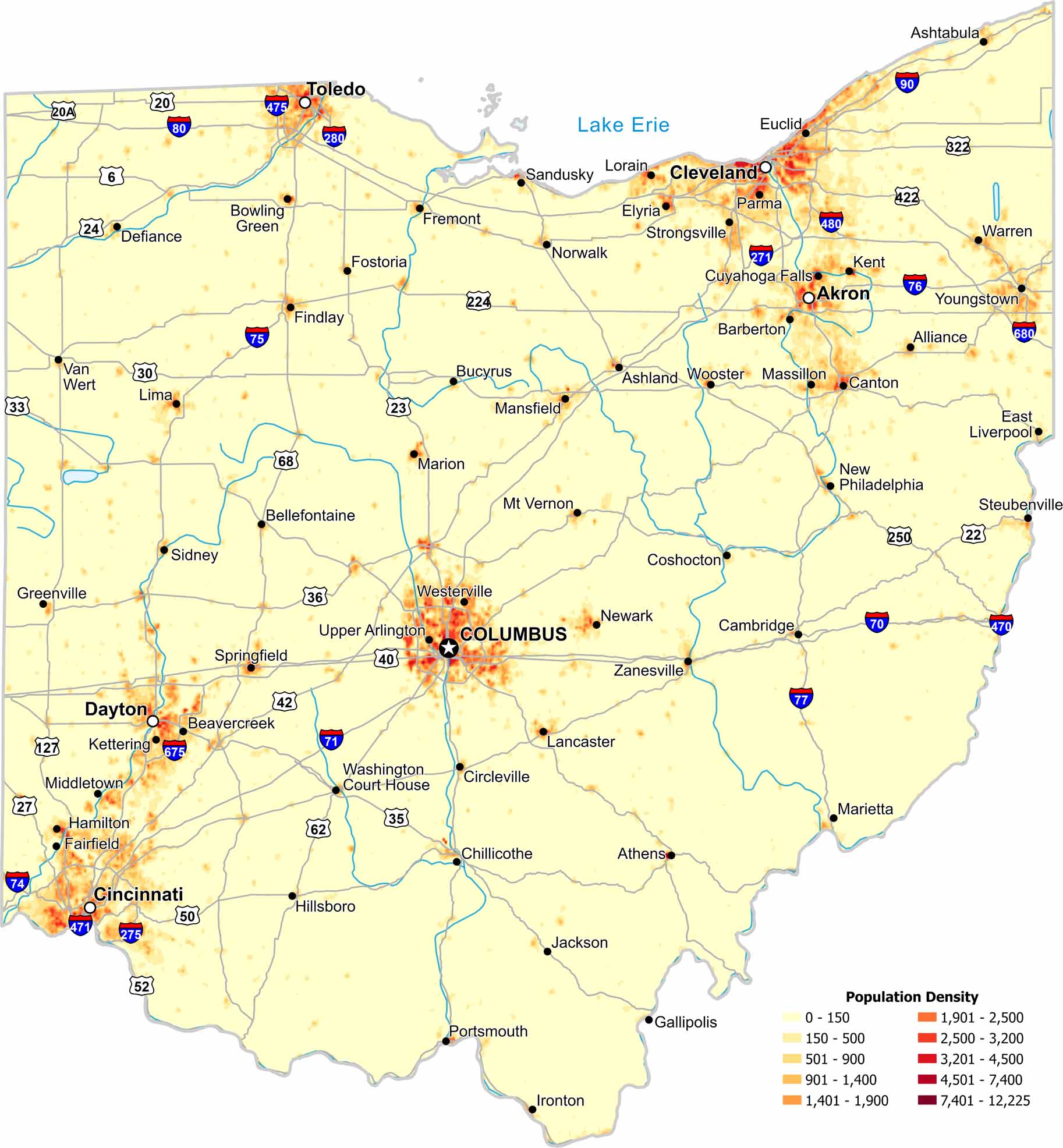
Ohio’s population is spread across several large urban regions. Our population density map of Ohio shows higher density near major cities. Lake Erie also plays a role in shaping settlement.
Map Information
On the Map
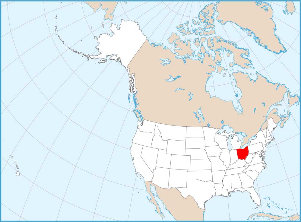
Ohio State Maps
Check out our maps covering farmland or any of Ohio’s major cities.


State Population Maps
Select any state map below to view its population density map.


