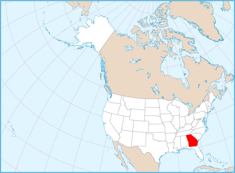
Georgia Physical Map

Georgia climbs from coast to mountains. The Appalachians rise in the north with peaks and valleys. The middle is Piedmont and the southern third is Coastal Plain. Our physical map of Georgia stretches from Atlanta down its marshes and islands along the Atlantic.
Map Information
On the Map
Physical State Maps
Select any state map below to view its physical map.


Georgia State Maps
Browse through our Georgia map collection


