Ohio Outline Map
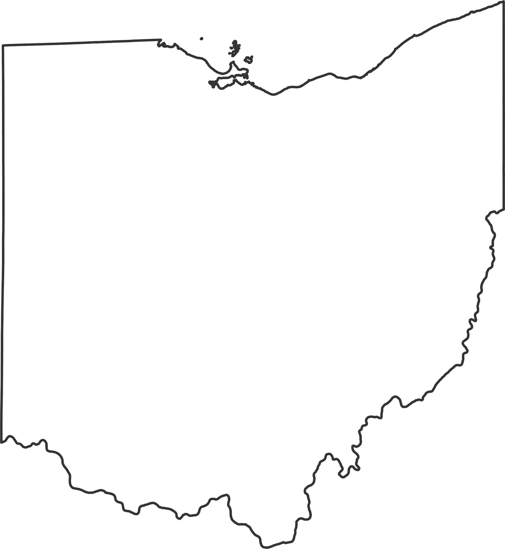
Ohio curves along Lake Erie at the top and straightens out toward the south. The southern and eastern borders follow the Ohio River in a winding curve separating the state from Kentucky and West Virginia.
Map Information
State Outline Maps
Click on a map below to check out outline maps of each state.


Ohio State Maps
Check out our maps covering farmland or any of Ohio’s major cities.


