Massachusetts Population Map

Eastern Massachusetts appears tightly packed on our population density map. Roads and cities overlap heavily on the map. Check out our map to see density drop westward as hills create natural breaks.
Map Information
On the Map
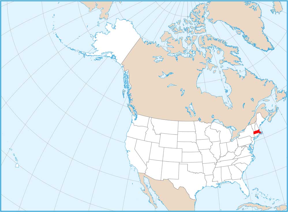
Massachusetts State Maps
Here’s our state maps of Massachusetts


State Population Maps
Select any state map below to view its population density map.


