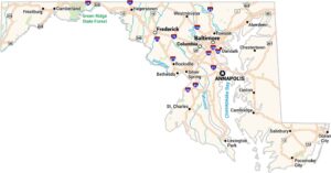
Maryland Physical Map
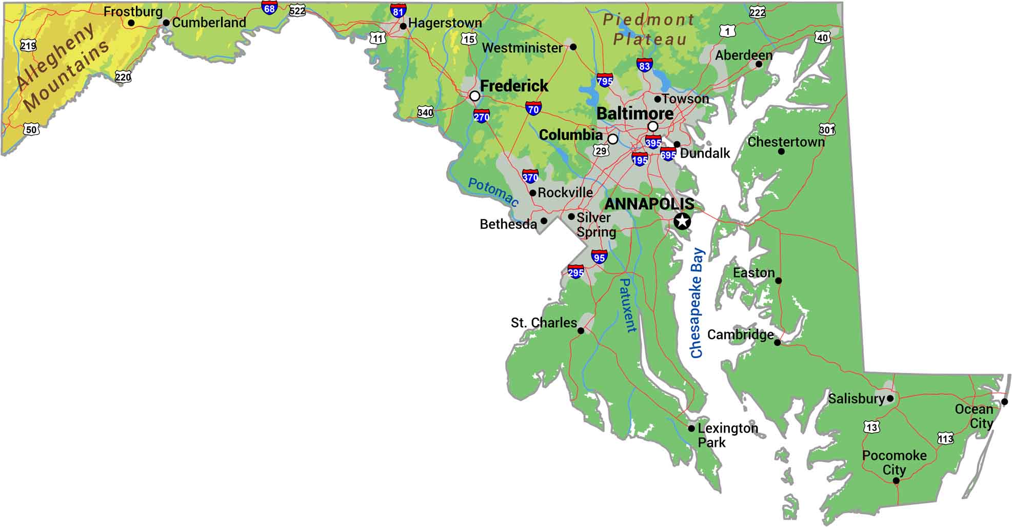
Our physical map of Maryland shows a state squeezed between mountains and coast. The Appalachians rise in the narrow western panhandle while the Chesapeake Bay dominates everything east. Between them, rolling Piedmont hills give way to flat Coastal Plain.
Map Information
On the Map
Physical State Maps
Select any state map below to view its physical map.


Maryland State Maps
See the geography of Maryland with our state maps