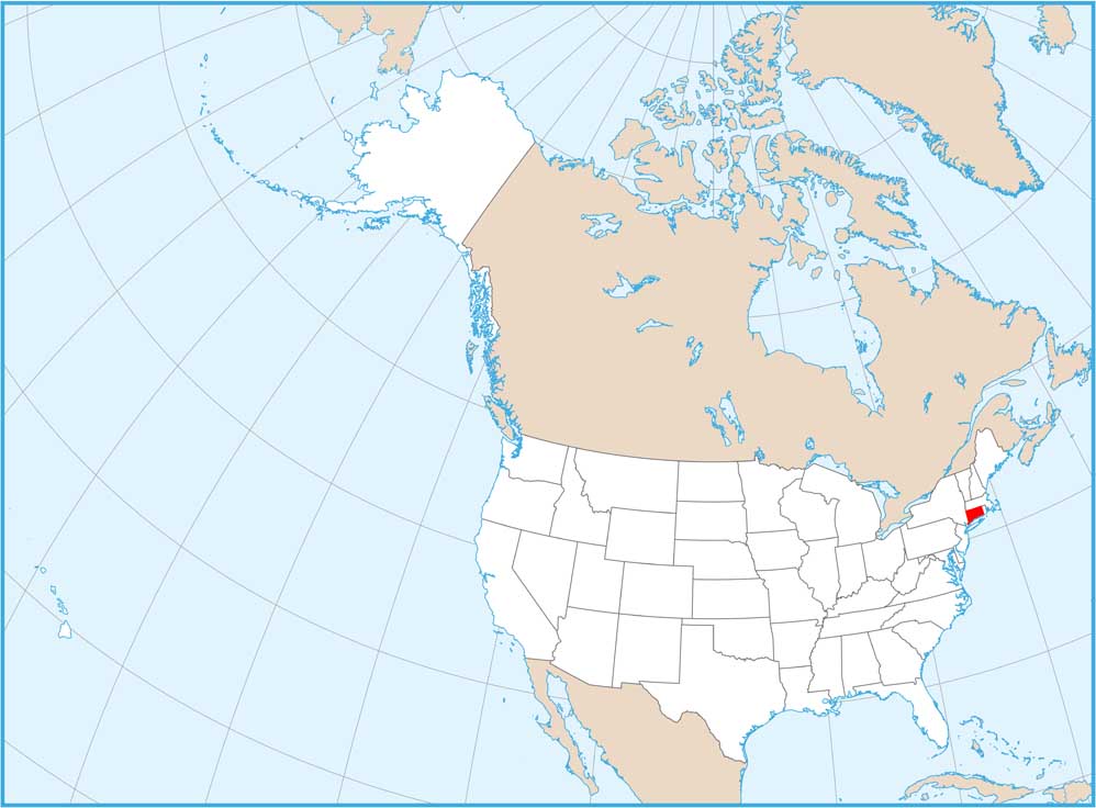
Connecticut Population Map

Population density is surprisingly high across much of the state. Cities sit close together along highways and rivers. Our map shows very little empty space. Even rural areas remain relatively dense.
Map Information
On the Map
Connecticut State Maps
Here’s your getaway to Connecticut geography


State Population Maps
Select any state map below to view its population density map.


