Map of Middletown, Connecticut
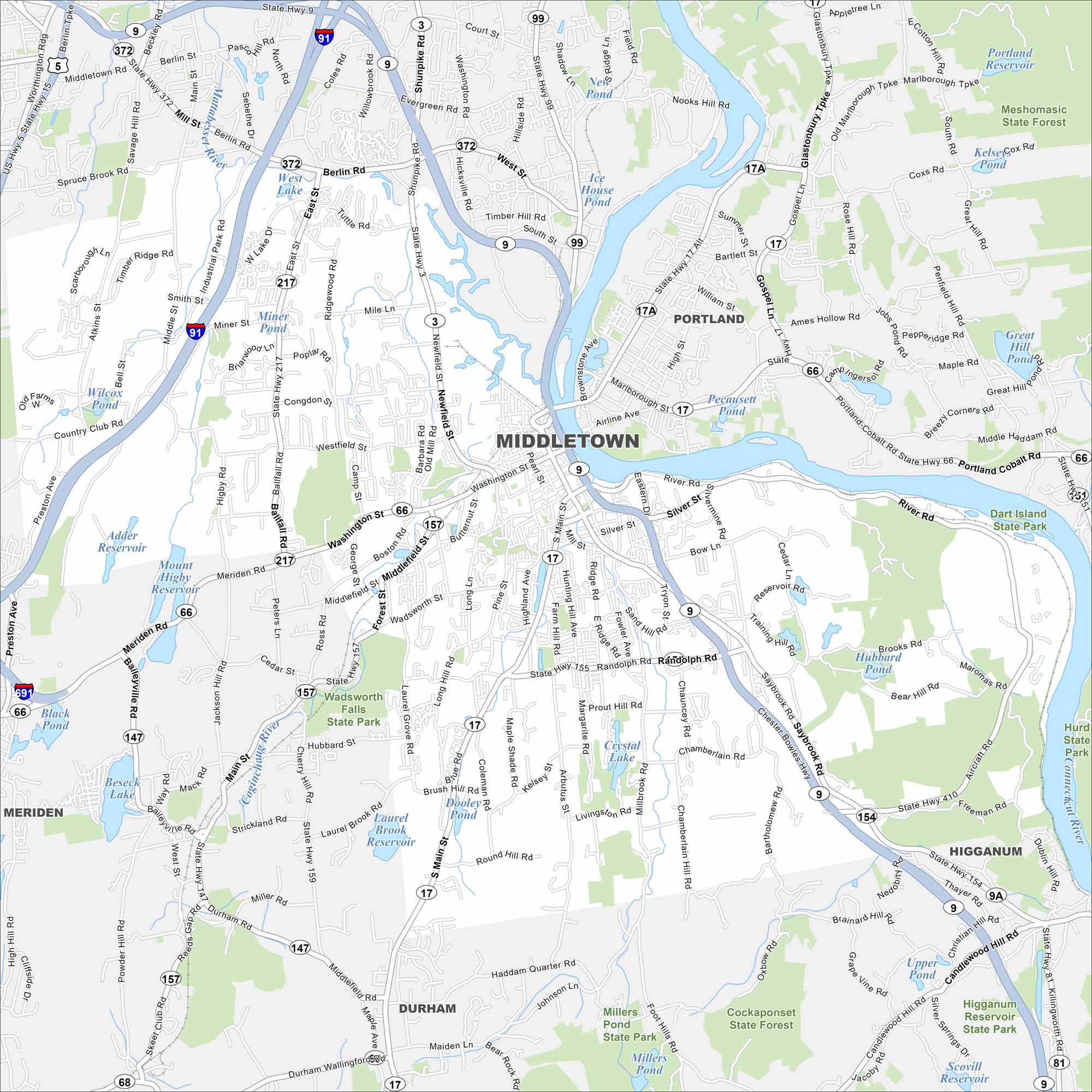
Our map of Middletown shows the city’s stretch along the Connecticut River. Wesleyan University anchors its center. Neighborhoods climb into the surrounding hills.
Connecticut State Maps
Here’s your getaway to Connecticut geography


Map Information
On the Map
Interstates/Highways: State Rte 9, State Rte 66, State Rte 17, State Rte 157, State Rte 154, State Rte 155, State Rte 217 Major Roads: Main St, Washington St, Saybrook Rd, Newfield St, South Main St, West St, Randolph Rd, Middlefield St, Berlin St, High St, Silver St, River Rd, Bow Ln, Training Hill Rd, Atkins St, Mill St, deKoven Dr, Johnson St, Aircraft Rd, Coleman Rd Lakes and Reservoirs: West Lake, Dooley Pond, Laurel Brook Reservoir, Crystal Lake, Adder Reservoir, Mount Higby Reservoir, Beseck Lake, Wilcox Pond, Pecausett Pond, Ice House Pond, Miller Pond Major Rivers: Connecticut River, Mattabesset River Parks and Preserves: Wadsworth Falls State Park, Cockaponset State Forest, Meshomasic State Forest, Dart Island State Park, Hurd State Park, Miller Pond State Park, Higganum Reservoir State Park Nearby Communities: Portland, Middlefield, Durham, Higganum, MeridenConnecticut City Maps
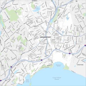
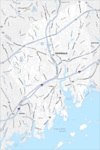
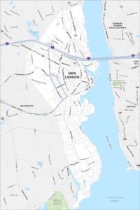
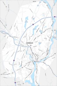
Browse Hartford and Connecticut’s city centers