Map of Manhattan, New York
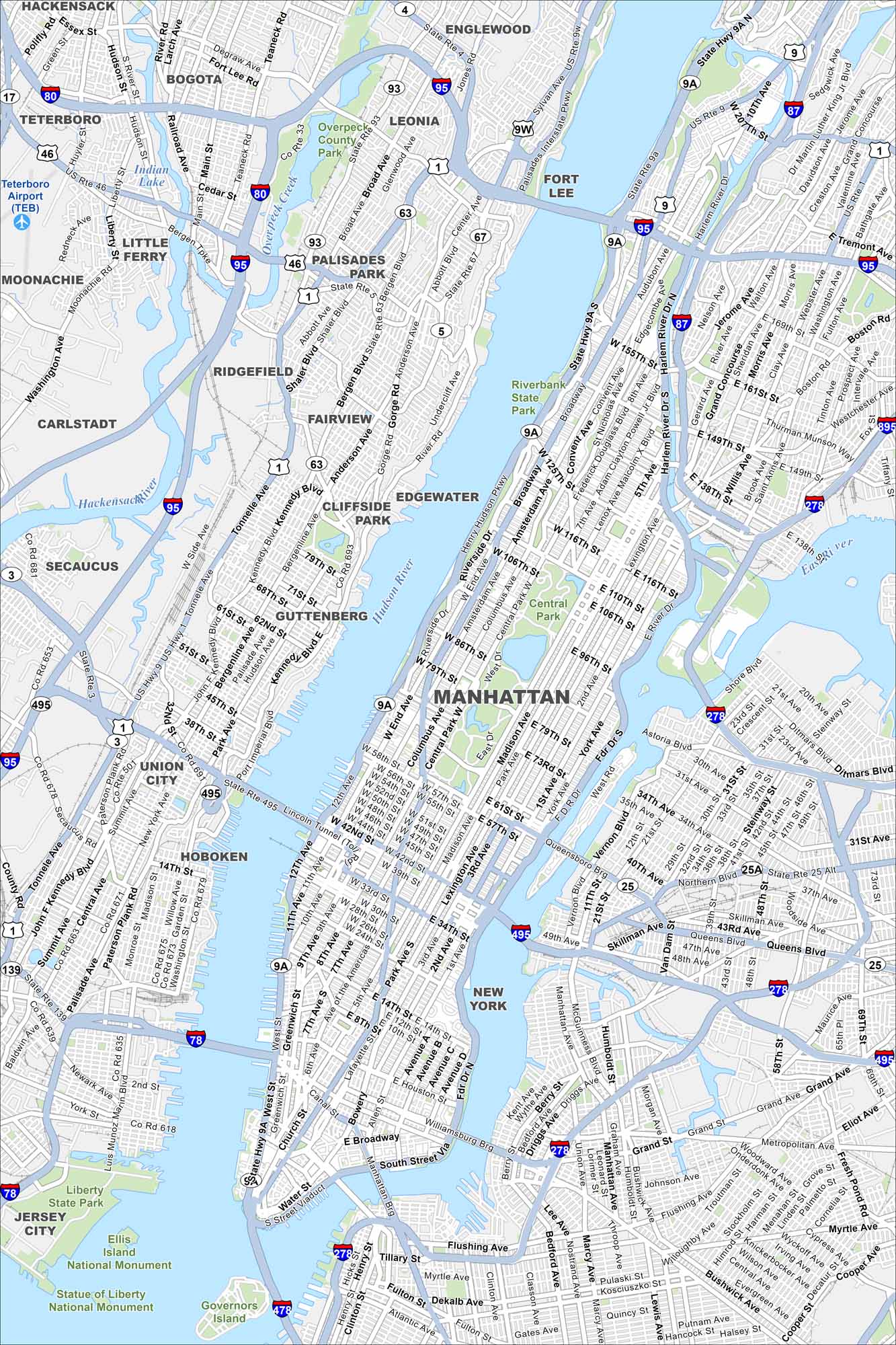
Manhattan rises between the Hudson and East Rivers. Our map shows Central Park, bridges, and dense streets. Skyscrapers cluster in Midtown and Downtown.
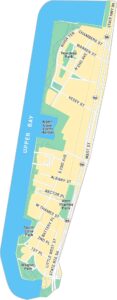
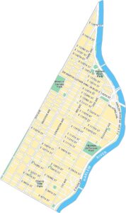
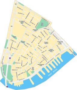
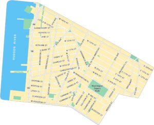
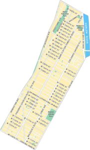
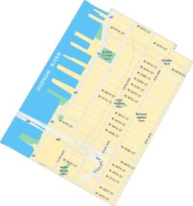
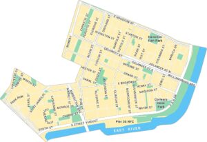
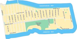
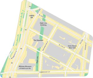
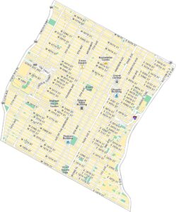
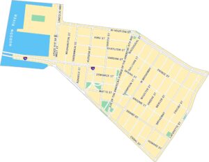
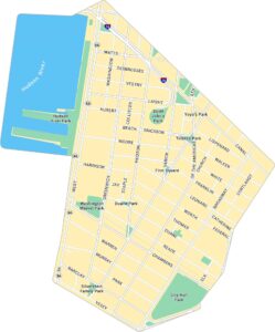
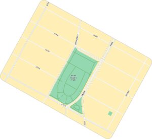
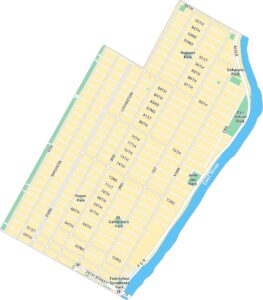
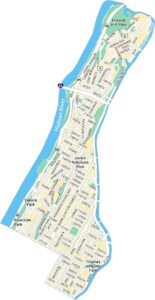
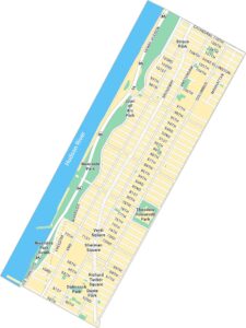
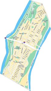
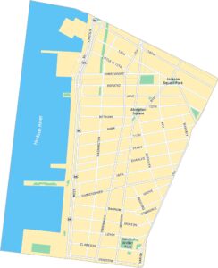
Manhattan Neighborhood Maps
See our neighborhood maps for a closer look of the city.
Map Information
On the Map
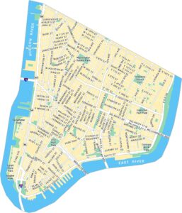
Interstates/Highways: I-95, I-87, I-78, I-280, I-495, I-278, State Hwy 9A, US Hwy 9, US Hwy 1, US Hwy 46 Major Roads: Broadway, Park Ave, Madison Ave, Lexington Ave, 5th Ave, 1st Ave, 2nd Ave, 3rd Ave, 11th Ave, 12th Ave, Canal St, West Side Hwy, FDR Dr, Tonnelle Ave, John F Kennedy Blvd, Bergen Blvd, Anderson Ave, Palisades Ave, River Rd, Grand Ave Lakes and Reservoirs: Upper New York Bay Major Rivers: Hudson River, East River, Harlem River, Hackensack River Parks and Preserves: Central Park, Riverbank State Park, Overpeck County Park, Liberty State Park, Ellis Island National Monument, Statue of Liberty National Monument, Governors Island Nearby Communities: New York, Jersey City, Hoboken, Union City, Weehawken, Guttenberg, West New York, North Bergen, Cliffside Park, Edgewater, Fairview, Ridgefield, Palisades Park, Fort Lee, Englewood, Leonia, Bogota, Hackensack, Little FerryNew York State Maps
Find state maps of the Empire State.


City Maps of New York
Here are the city maps that define New York


