Rhode Island County Map
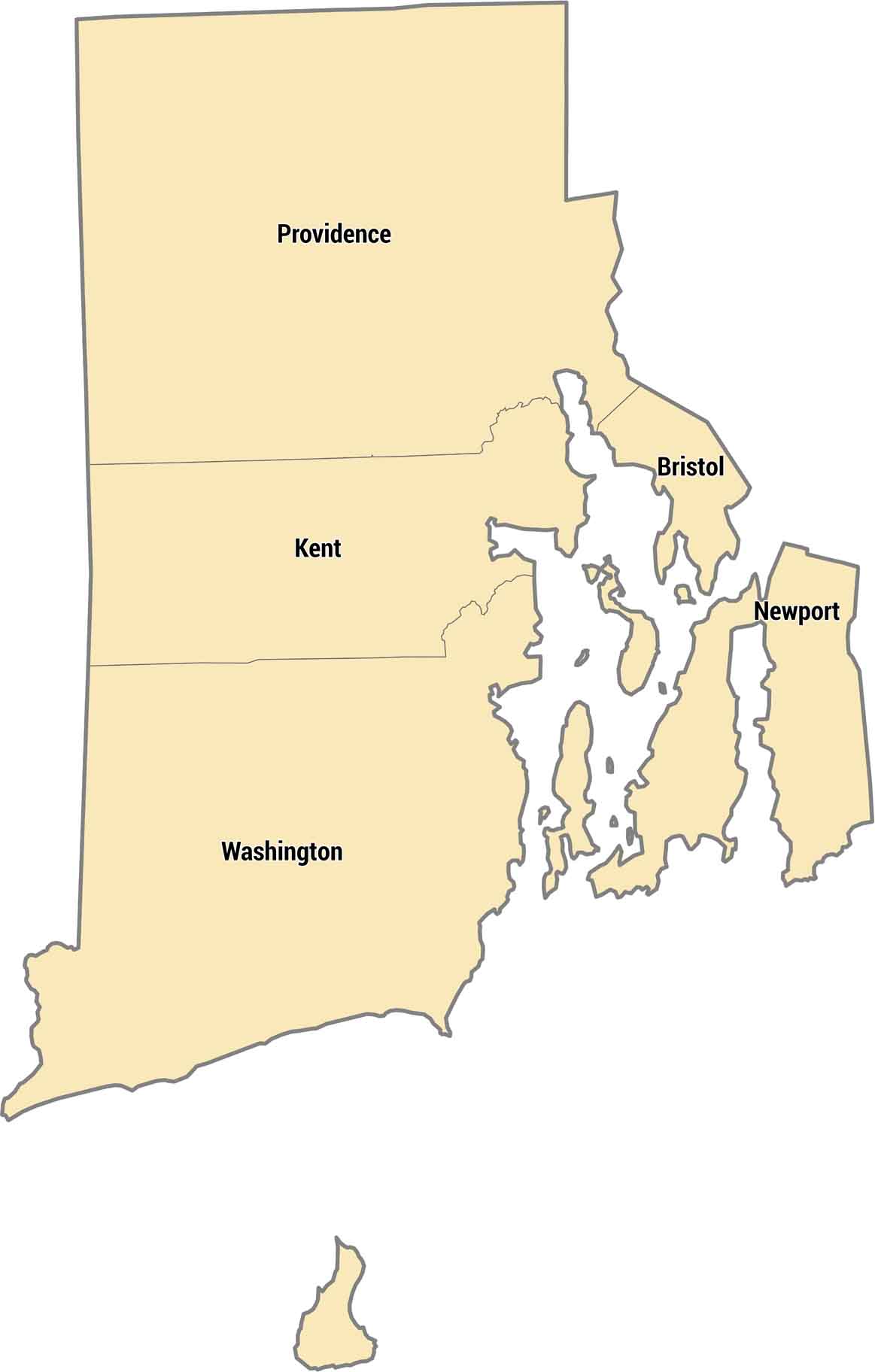
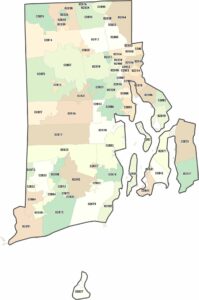
Only 5 counties exist in the nation’s smallest state. Rhode Island’s county structure is simple, covering a small coastal state with bays, islands, and short distances. Providence County has the capital and most residents packed into a tiny area.
Map Information
On the Map
Our table below provides you with population, area, and FIPS code for each county.
|
FIPS Code |
Name |
Total Area (sq mi) |
Population 2024 |
|
44-001 |
Bristol County |
44.7 |
50,145 |
|
44-003 |
Kent County |
188.1 |
172,450 |
|
44-005 |
Newport County |
313.6 |
83,468 |
|
44-007 |
Providence County |
435.7 |
675,912 |
|
44-009 |
Washington County |
562.8 |
130,333 |
Rhode Island State Maps
Here are our maps of this compact coastal state.


State County Maps
Click on a map below to check out county maps of each state.


