Harlem Map, New York
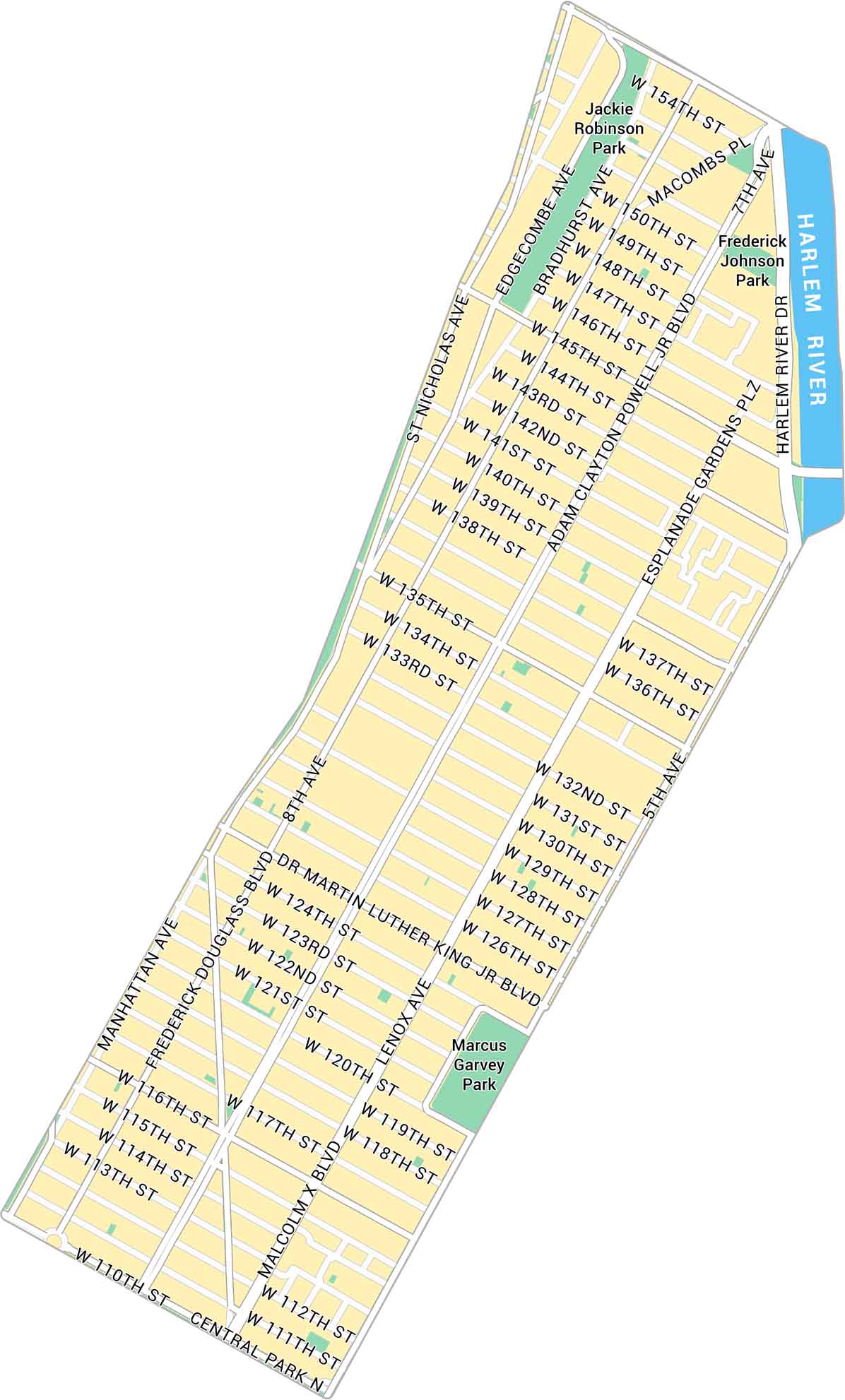
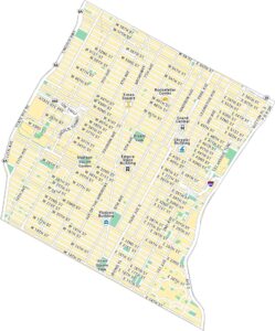
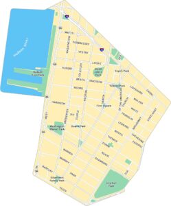
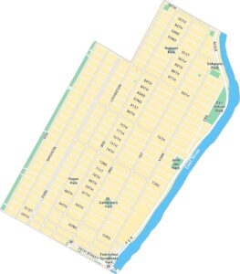
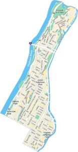
Harlem stretches across Upper Manhattan along the Harlem River. Our map shows its parks and network of busy streets. It’s a historic part of the city with deep roots.
Map Information
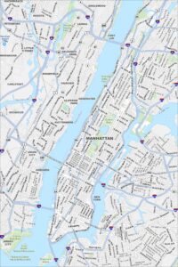
Manhattan Neighborhood Maps
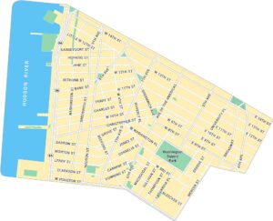
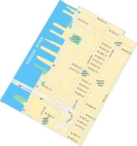
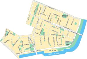
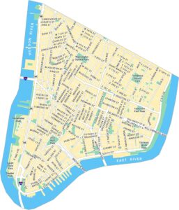
See our neighborhood maps for a closer look of the city.
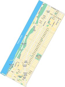
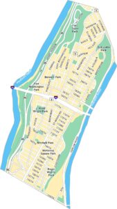
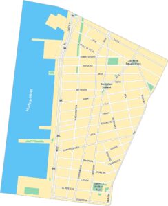
On the Map
Major Roads: 25th St, 145th St, 110th St, 135th St, 155th St, 7th Ave, 8th Ave, 5th Ave, St Nicholas Ave, Adam Clayton Powell Jr Blvd, Malcolm X Blvd, Martin Luther King Jr Blvd, Frederick Douglass Blvd, Manhattan Ave, Lenox Ave, Macombs Pl, Edgecombe Ave, Bradhurst Ave, Central Park N Major Rivers: Harlem River Parks: Marcus Garvey Park, Jackie Robinson Park, Frederick Johnson ParkCity Maps of New York
Here are the city maps that define New York