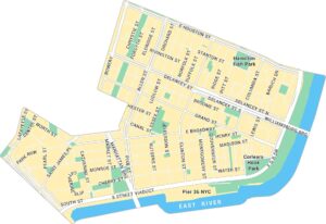
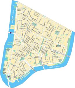
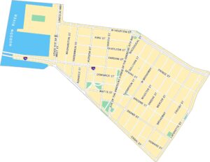
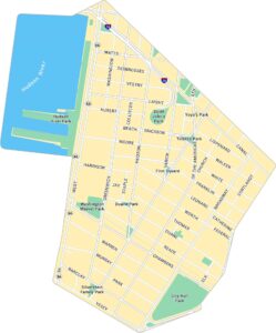
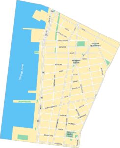
Manhattan Beach Map, New York
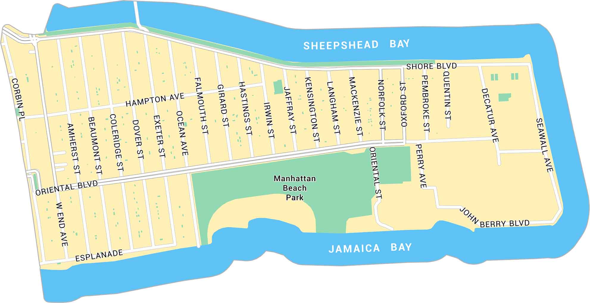
Our map of Manhattan Beach shows the small coastal neighborhood at Brooklyn’s southern edge. It highlights main roads and beach access facing the Atlantic Ocean.
Map Information
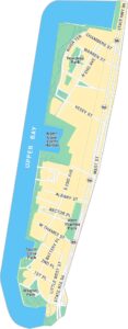
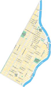
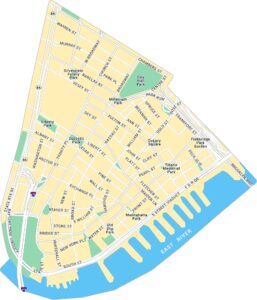
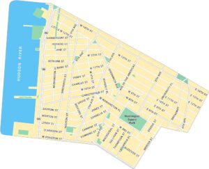
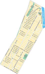
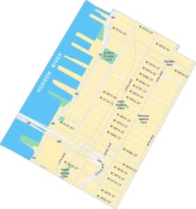
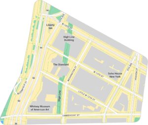
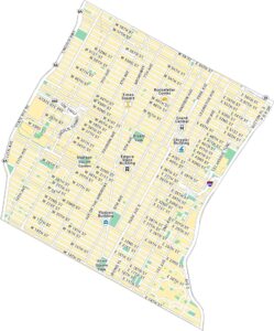
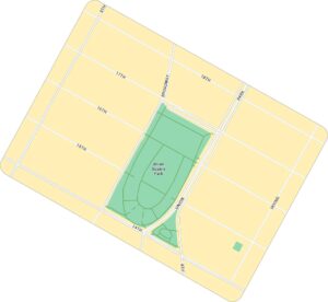
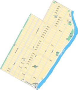
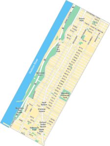
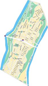
Manhattan Neighborhood Maps
See our neighborhood maps for a closer look of the city.
On the Map
Major Roads: Oriental Blvd, Shore Blvd, Hampton Ave, Ocean Ave, Corbin Pl, West End Ave, Mackenzie St, Norfolk St, Oxford St, Pembroke St, Quentin St, Decatur Ave, Seawall Ave, Falmouth St, Girard St, Hastings St, Irwin St, Jaffray St, Kensington St, Langham St Bays/Reservoirs: Sheepshead Bay, Jamaica Bay Parks: Manhattan Beach ParkCity Maps of New York
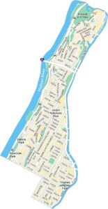
Here are the city maps that define New York


