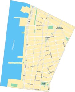
Meatpacking District Map, New York
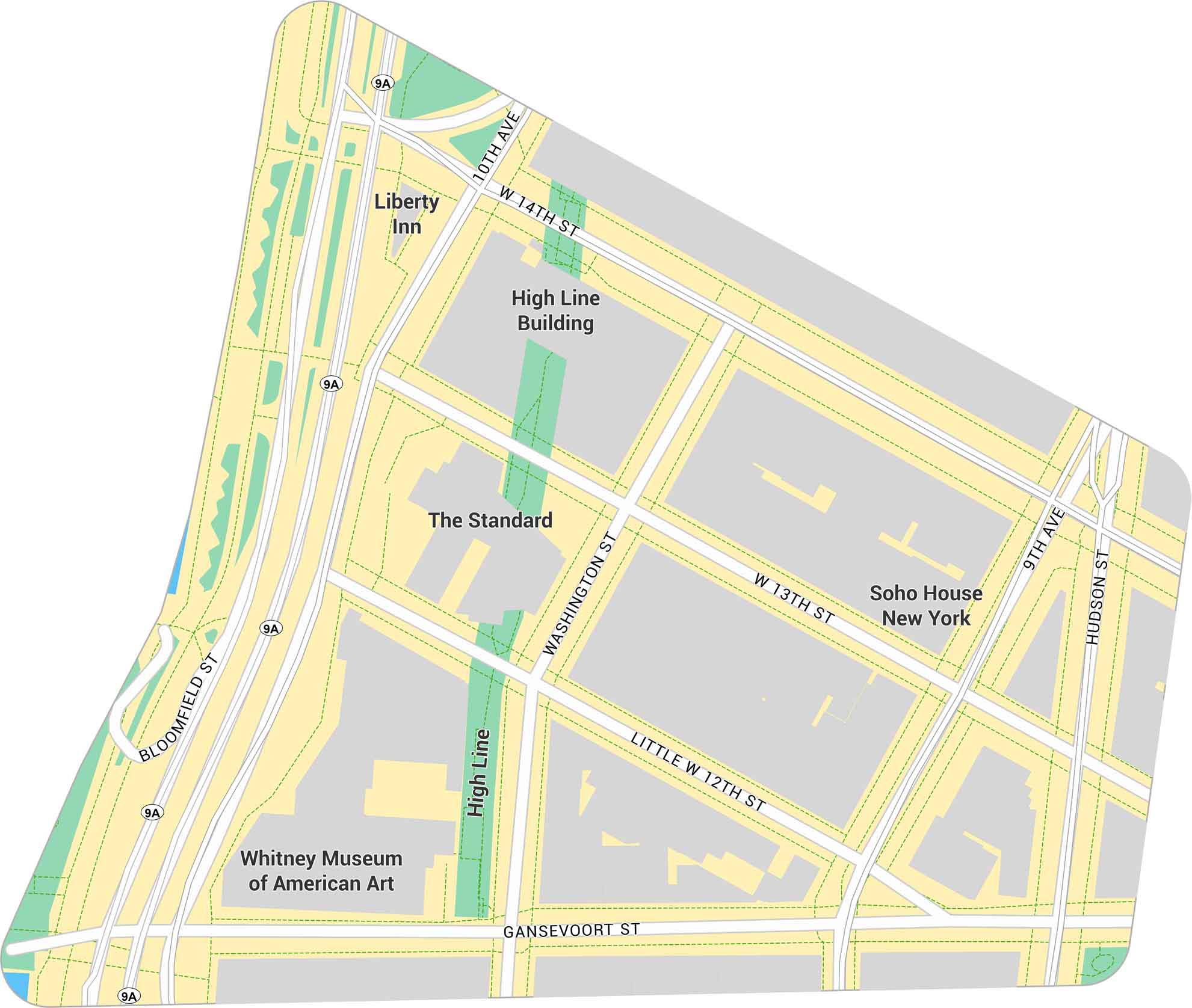
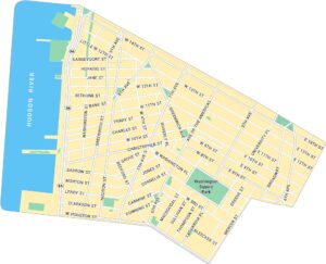
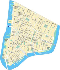
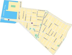
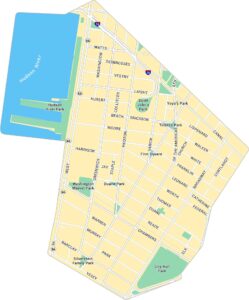
The Meatpacking District sits on Manhattan’s west side. Our map shows its road network, the High Line, and access to the Hudson River. It’s a small but busy pocket of the city with a distinct layout and style.
Map Information
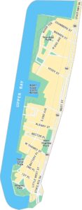
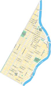
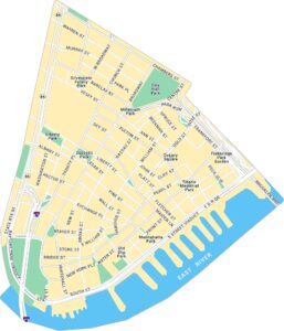
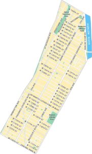
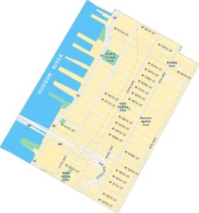
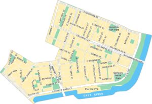
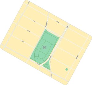
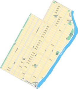
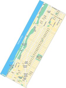
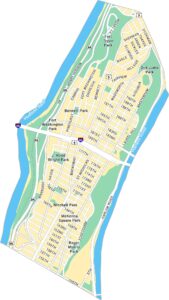
Manhattan Neighborhood Maps
See our neighborhood maps for a closer look of the city.
On the Map
Interstates/Highways: State Rte 9A Major Roads: 14th St, 10th Ave, 9th Ave, Hudson St, Washington St, Gansevoort St, Little 12th St, 13th St, Bloomfield St Parks: High Line Landmarks: Whitney Museum of American Art, High Line Building, The Standard, Soho House New York, Liberty InnCity Maps of New York
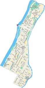
Here are the city maps that define New York


