Midtown Map, New York
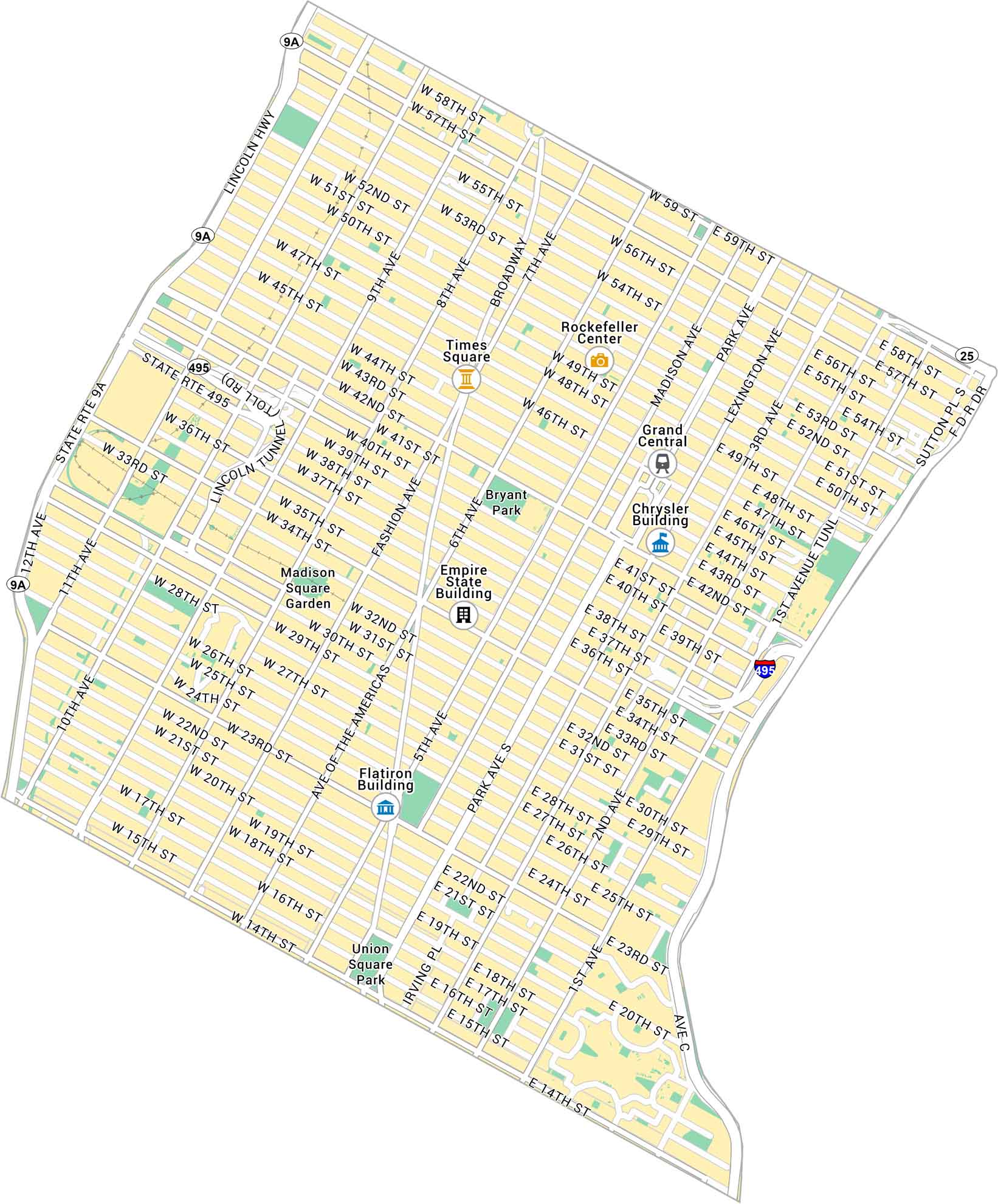
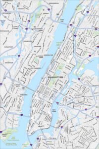
Our map of Midtown shows the heart of Manhattan between 14th and 59th Streets. It highlights major avenues, landmarks, and parks. It’s a dense stretch of the city filled with towers and busy streets.
Map Information
Manhattan Neighborhood Maps
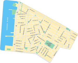
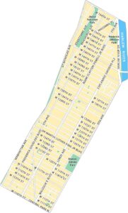
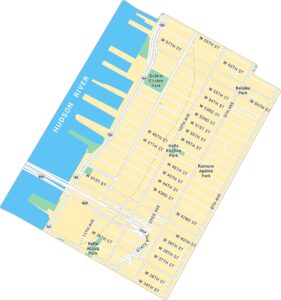
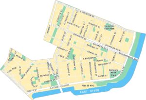
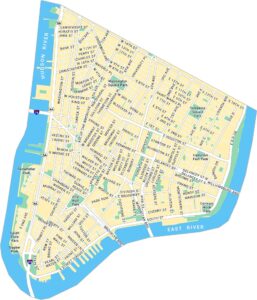
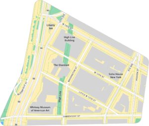
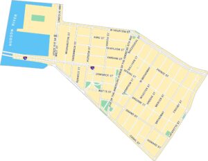
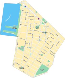
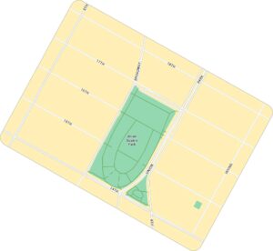
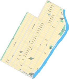
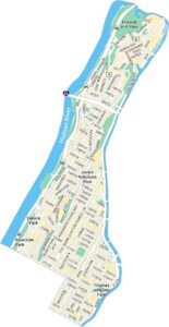
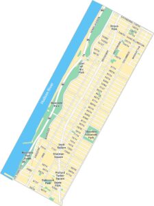
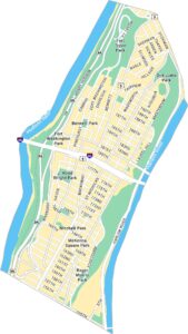
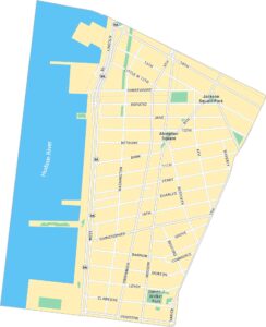
See our neighborhood maps for a closer look of the city.
On the Map
Interstates/Highways: I-495, State Rte 9A, Lincoln Hwy Major Roads: 42nd St, 34th St, 59th St, 57th St, 14th St, 23rd St, Broadway, 5th Ave, 7th Ave, 6th Ave, 8th Ave, 9th Ave, 10th Ave, Park Ave, Madison Ave, Lexington Ave, 3rd Ave, 2nd Ave, 1st Ave, 50th St Major Rivers: Hudson River, East River Parks: Bryant Park, Union Square Park Landmarks: Times Square, Empire State Building, Chrysler Building, Rockefeller Center, Grand Central, Madison Square Garden, Flatiron BuildingCity Maps of New York
Here are the city maps that define New York