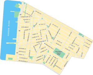
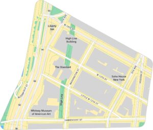
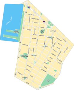
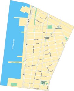
SoHo Map, New York
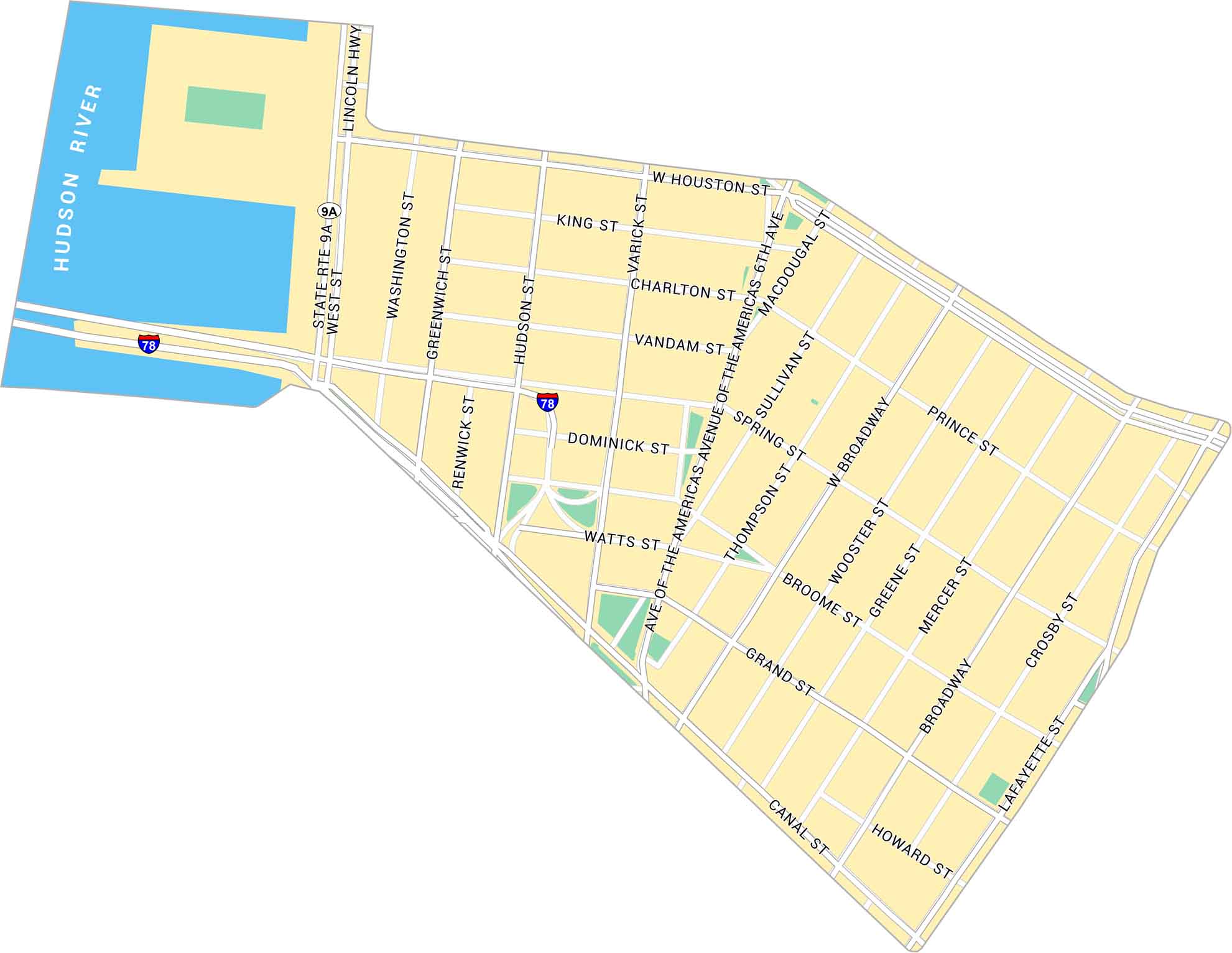
SoHo (short for South of Houston) is stylish, busy, and always changing. Our SoHo map highlights shows its parks and roads from Houston and Canal Streets.
Map Information
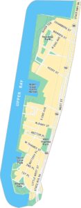
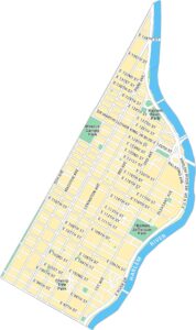
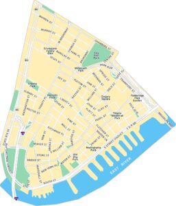
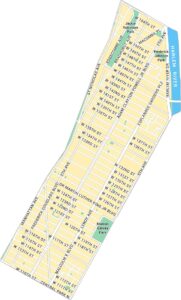
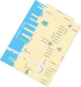
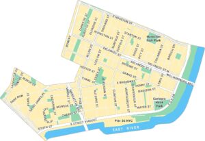
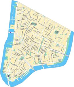
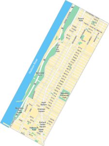
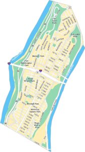
Manhattan Neighborhood Maps
See our neighborhood maps for a closer look of the city.
On the Map
Interstates/Highways: I-78, Lincoln Hwy, State Rte 9A Major Roads: Broadway, Canal St, Houston St, 6th Ave, Varick St, Hudson St, West St, Spring St, Grand St, Prince St, Broome St, Lafayette St, Wooster St, Greene St, Mercer St, Thompson St, Sullivan St, Macdougal St, Watts St, Washington St Major Rivers: Hudson RiverCity Maps of New York
Here are the city maps that define New York


