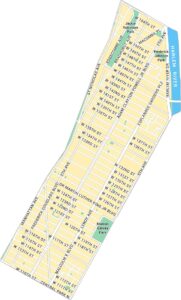
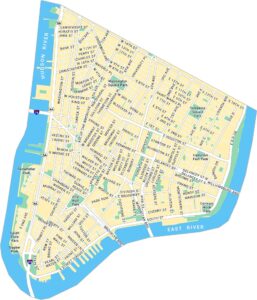
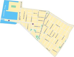
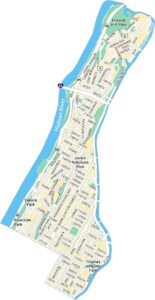
Washington Heights Map, New York
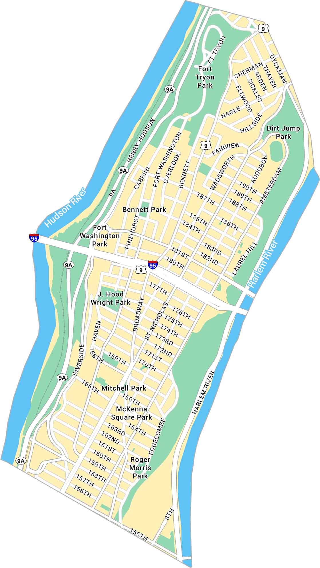
Our map of Washington Heights highlights its steep streets, the George Washington Bridge, and stretches of Fort Tryon Park. This neighborhood sits high above the Hudson with a view of Manhattan that feels alive.
Map Information
On the Map
Interstates/Highways: I-95, US Hwy 9 Major Roads: Broadway, Henry Hudson Pkwy, Amsterdam Ave, St Nicholas Ave, Riverside Dr, Fort Washington Ave, Nagle Ave, Dyckman St, Edgecombe Ave, Hillside Ave, Audubon Ave, Wadsworth Ave, Bennett Ave, Cabrini Blvd, Pinehurst Ave, Haven Ave, Laurel Hill Ter, 155th St, 181st St Major Rivers: Hudson River, Harlem River Parks: Fort Tryon Park, Fort Washington Park, Bennett Park, J. Hood Wright Park, Mitchell Park, McKenna Square Park, Roger Morris Park, Dirt Jump ParkManhattan Neighborhood Maps
See our neighborhood maps for a closer look of the city.
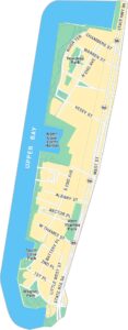
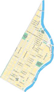
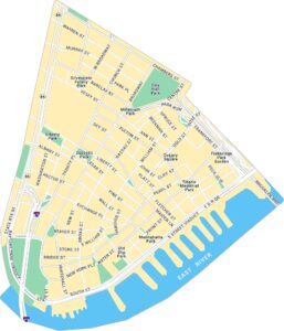
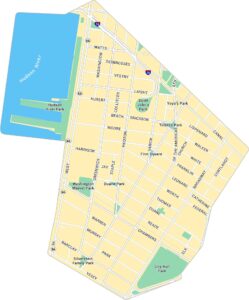
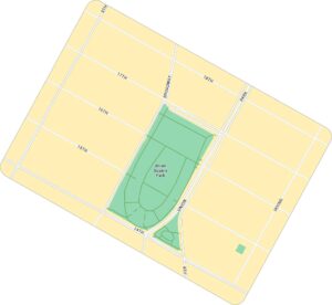
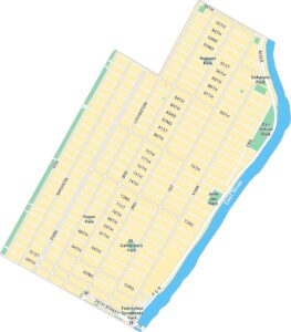
City Maps of New York
Here are the city maps that define New York


