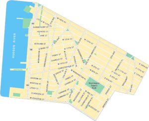
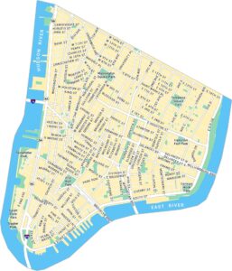
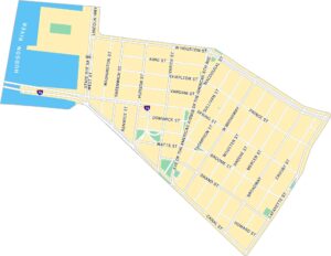
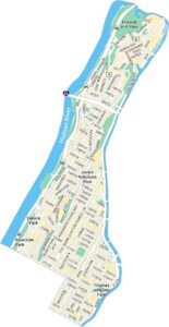
West Village Map, New York
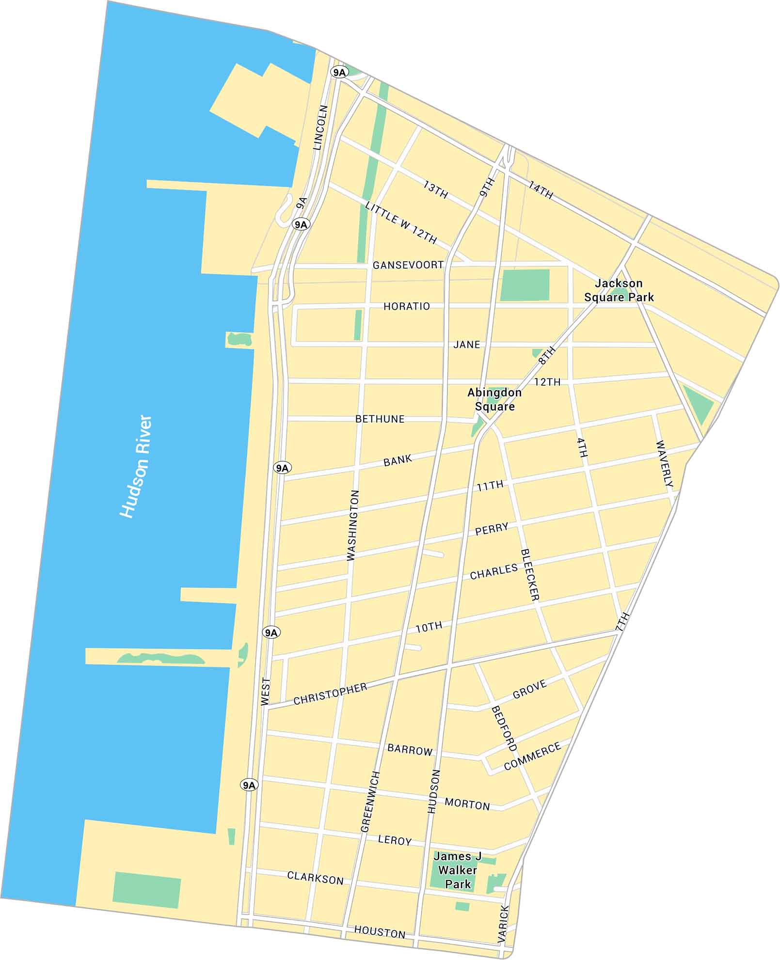
The West Village feels like its own little world. It has cobblestone streets, parks and corner cafés. Our map of West Village guides you through its winding layout along the Hudson River.
Map Information
On the Map
Interstates/Highways: West St (NY 9A) Major Roads: Hudson St, Greenwich St, Bleecker St, 7th Ave, 8th Ave, 14th St, Houston St, Christopher St, Washington St, W 12th St, W 4th St, 13th St, Gansevoort St, Horatio St, Jane St, Bank St, Perry St, Charles St, Clarkson St Major Rivers: Hudson River Parks: Jackson Square Park, Abingdon Square, James J Walker ParkManhattan Neighborhood Maps
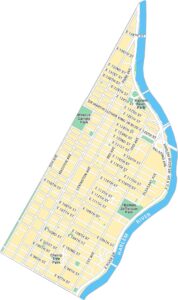
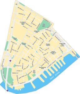
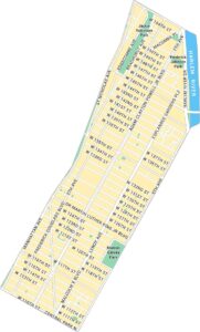
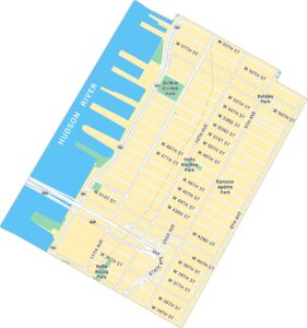
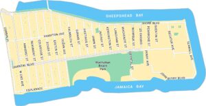
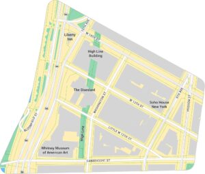
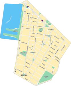
See our neighborhood maps for a closer look of the city.
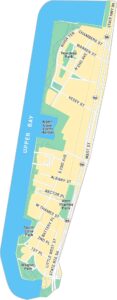
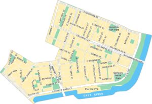
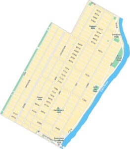
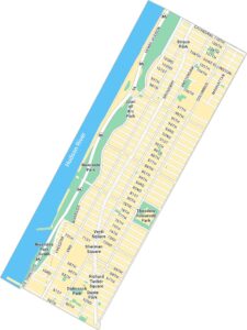
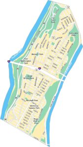
City Maps of New York
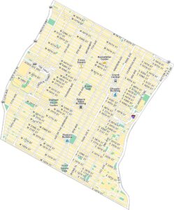
Here are the city maps that define New York


