US Satellite Map
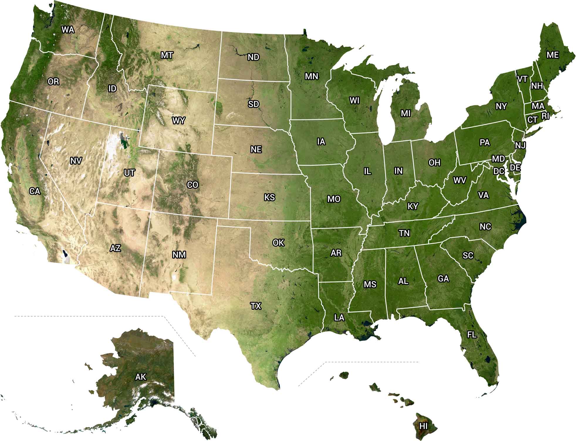
From above, the U.S. looks wild and alive. Our satellite map shows it all. You can spot snow on the Rockies and deep green forests in the Pacific Northwest. It’s a view that makes you realize just how big this country really is.
Map Information
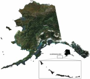
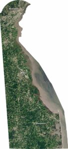
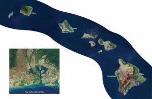
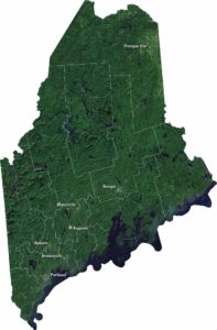
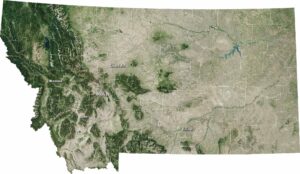
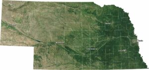
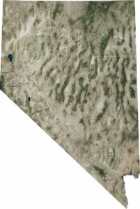
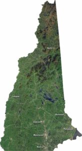
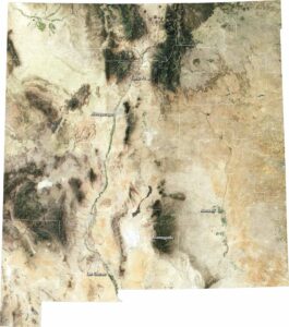
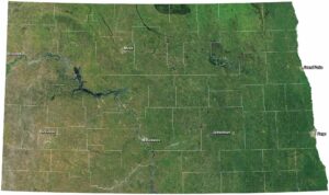
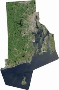
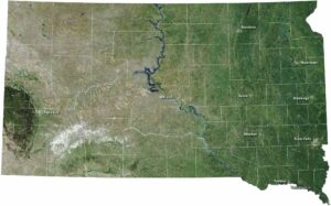
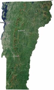
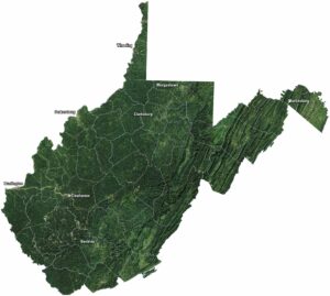
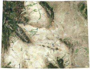
State Satellite Maps
Click on a map below to check out satellite imagery of the state.


Country Maps
Explore the geography that defines this nation.


