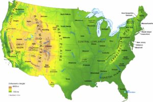
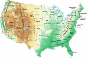
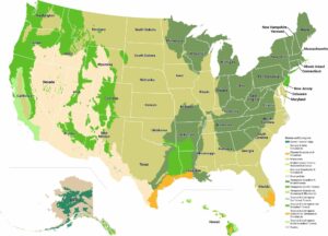
US Physical Map
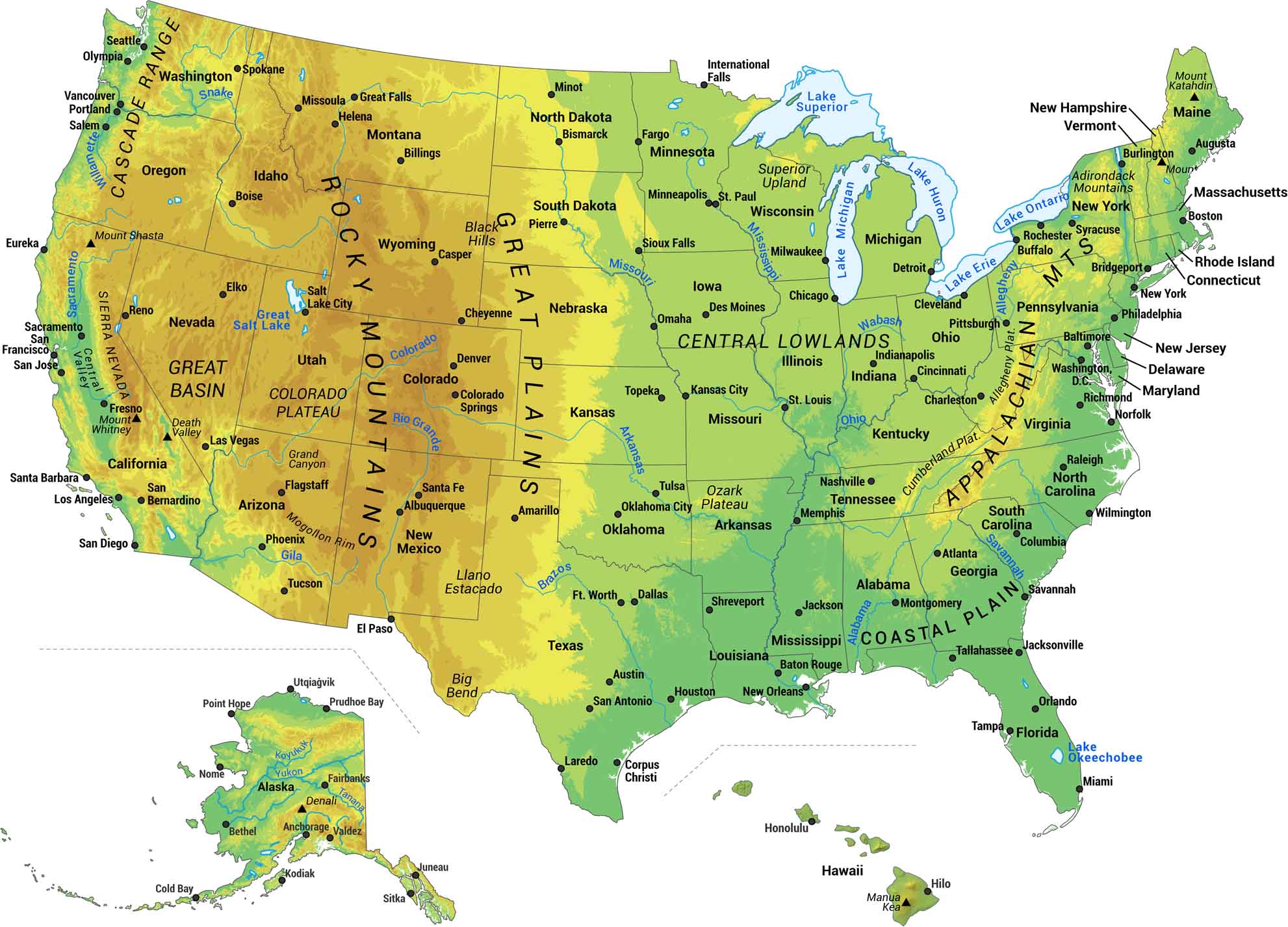
Our US physical map shows the major geographical features of the United States. We built this map to show you the raw geography that makes America what it is. You’ll find mountain ranges, peaks, rivers, lakes, deserts and thousands of miles of coastline. See the terrain and mountain peaks from coast to coast.
Map Information
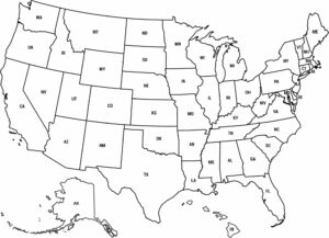
Physical State Maps
Select any state map below to view its physical map.


On the Map
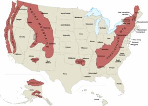
Mountain Ranges: Appalachian Mts, Cascade Range, Rocky Mountains, Sierra Nevada Plateaus: Allegheny Plateau, Colorado Plateau, Cumberland Plateau, Ozark Plateau Physical Features: Black Hills, Blue Ridge, Central Lowlands, Coastal Plain, Great Basin, Great Plains, Llano Estacado, Mogollon Rim, Superior Upland Mountain Peaks: Denali, Mauna Kea, Mount Katahdin, Mount Shasta, Mount Whitney Major Rivers: Alabama River, Arkansas River, Brazos River, Colorado River, Columbia River, Gila River, Koyukuk River, Mississippi River, Missouri River, Ohio River, Rio Grande River, Snake River, Tanana River, Wabash River, Willamette River, Yukon River Lakes/Reservoirs: Great Salt Lake, Lake Erie, Lake Huron, Lake Michigan, Lake Okeechobee, Lake Ontario, Lake SuperiorUS Physical Maps
Witness the geography that forged a nation.


This help me know more about maps and also the type of maps.