US Fault Lines Map
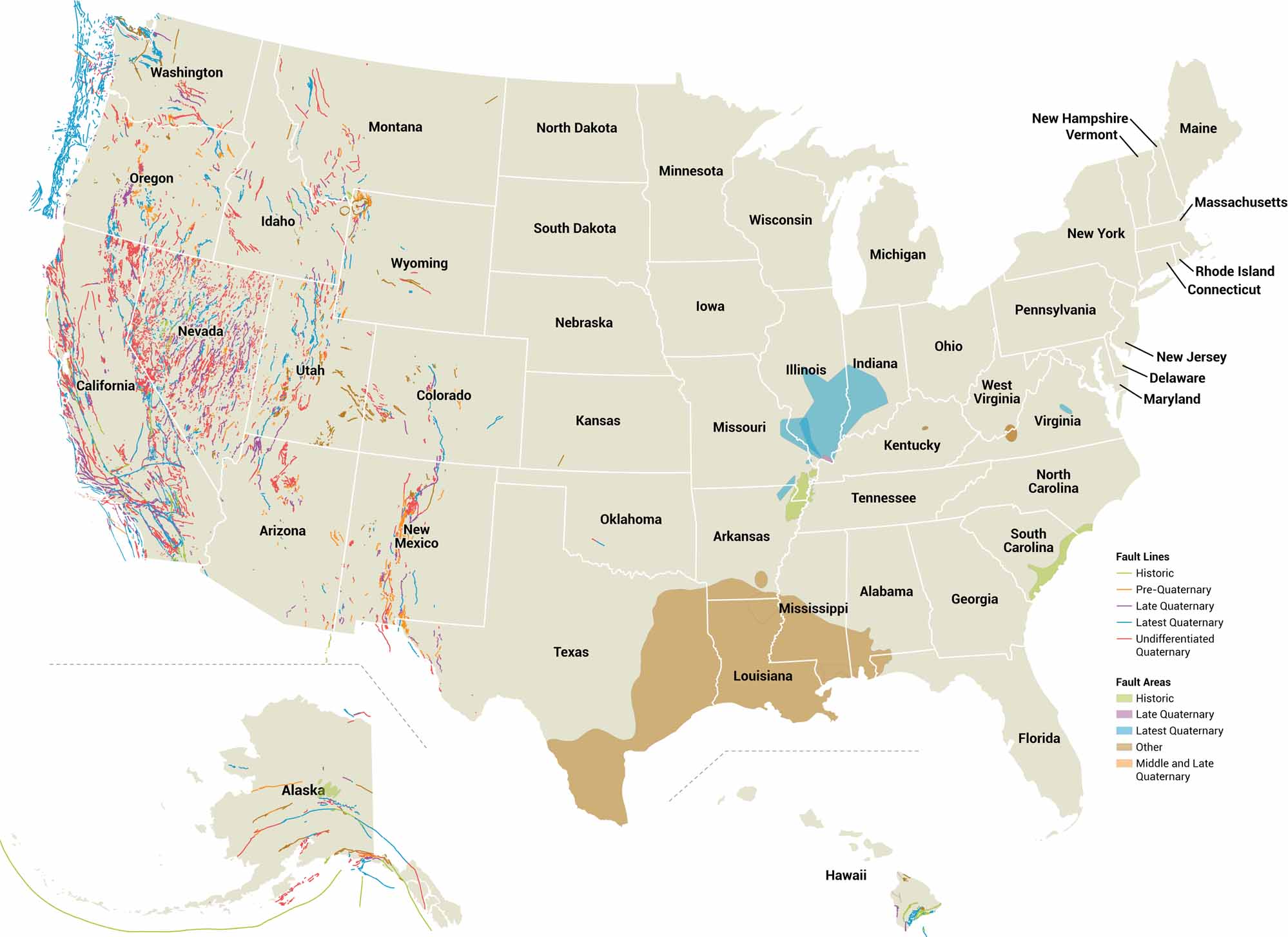
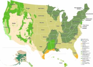
Ever wonder where the continent is actively tearing itself apart? This US fault lines map plots major fracture zone. As you can see, faults don’t care about state lines or population centers. California’s San Andreas gets most of the spotlight. But faults are not just on the West Coast.
Map Information
On the Map
Fault Lines: Historic, Pre-Quaternary, Late Quaternary, Latest Quaternary, Undifferentiated Quaternary Fault Areas: Historic, Late Quaternary, Latest Quaternary, Other, Middle and Late QuaternaryUS Physical Maps
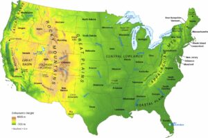
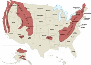
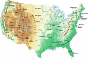
Witness the geography that forged a nation.


References
- U.S. Geological Survey and New Mexico Bureau of Mines and Mineral Resources, Quaternary fault and fold database for the United States, accessed August 1, 2019, at USGS Natural Hazards.