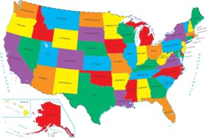
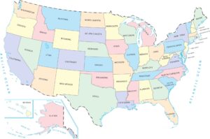
Printable US Map
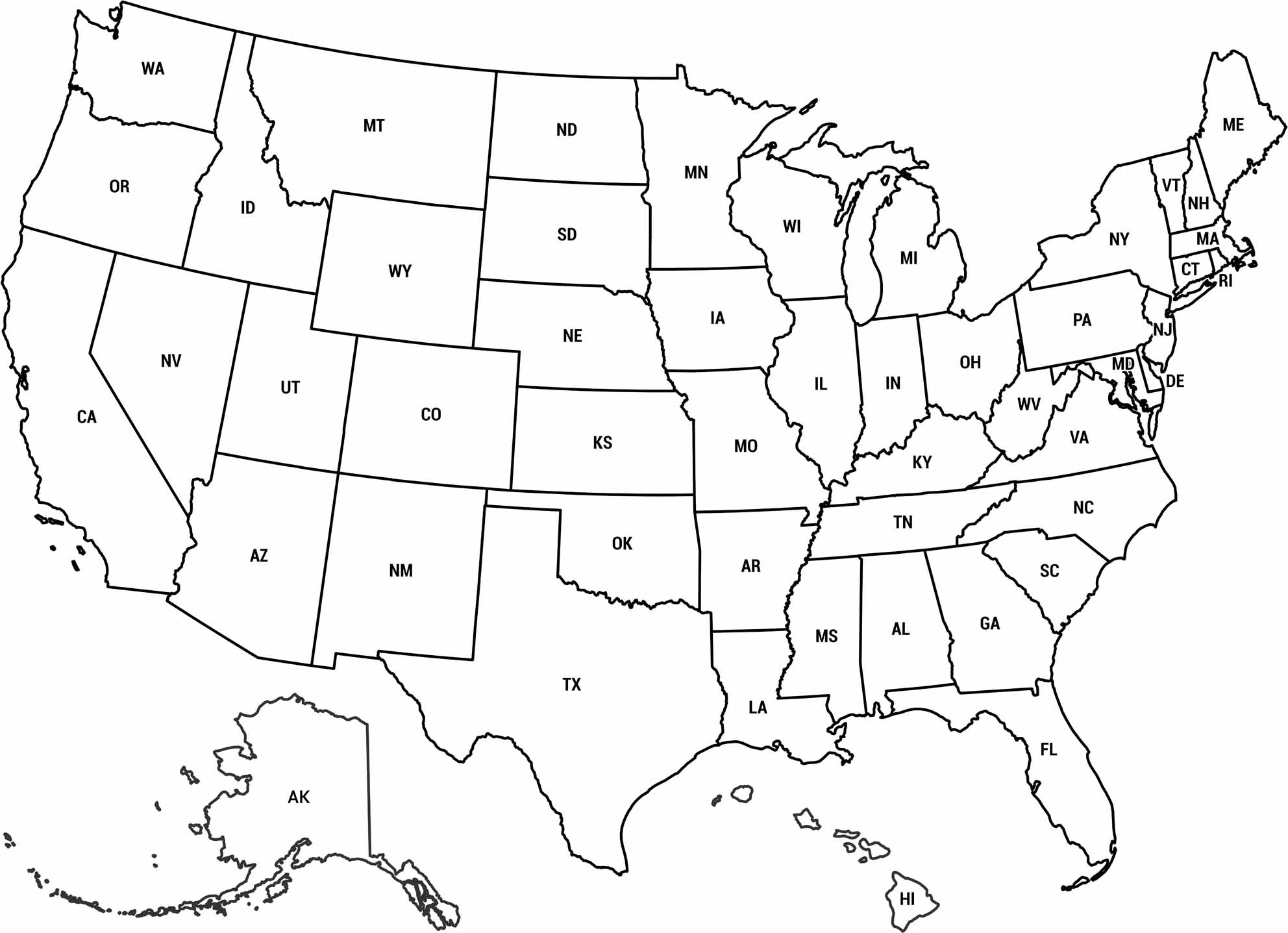
Our printable US map shows the full layout of the country in one clean view. It focuses on state boundaries and overall geography. This one also includes abbreviations for each state.
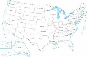
Map Information
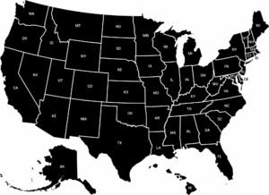
State Outline Maps
Click on a map below to check out outline maps of each state.


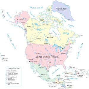
Country Maps
Discover the lines that define our limits