Texas Population Map
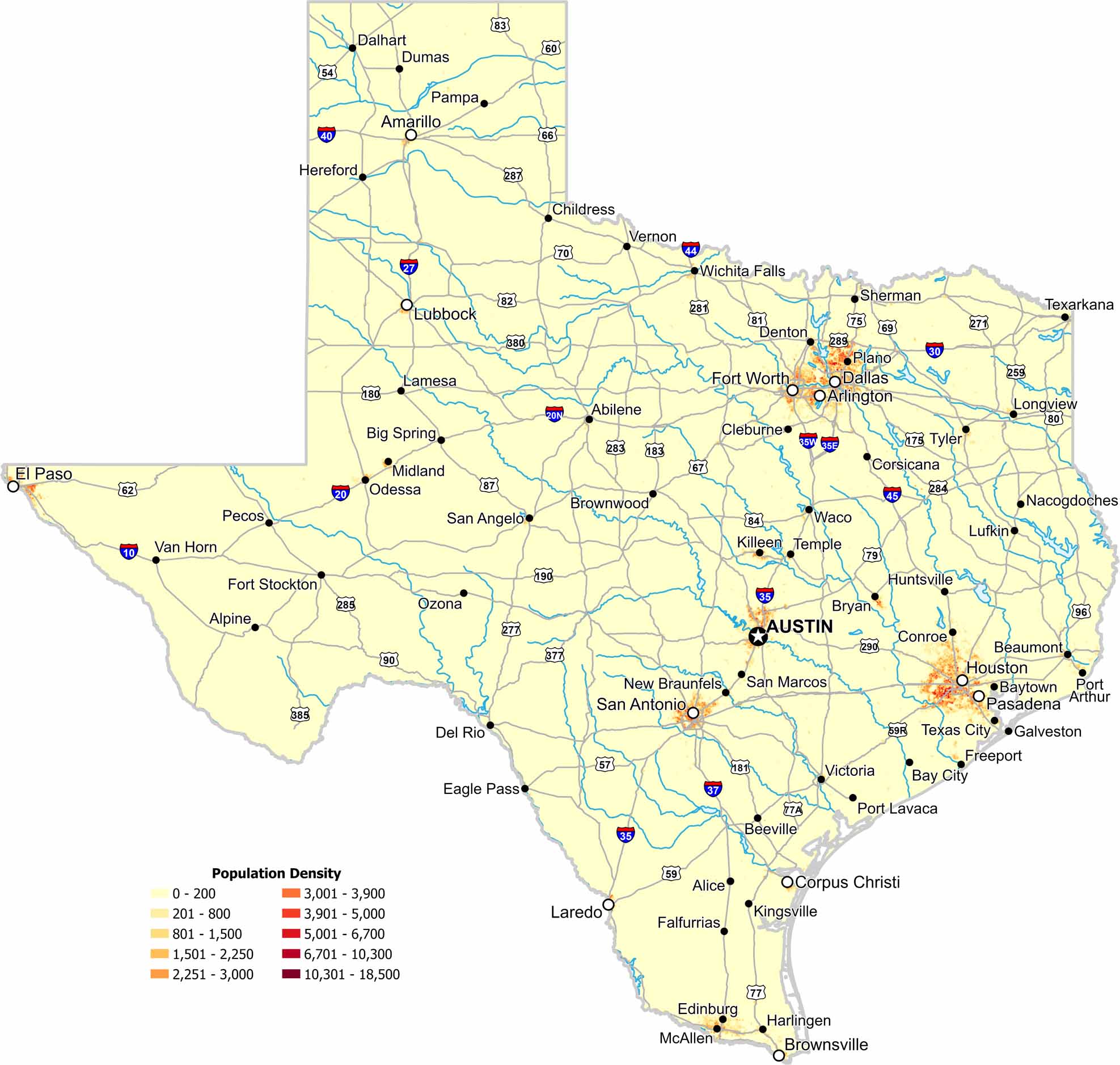
Texas shows strong population concentration around major metro areas. Our map highlights dense clusters separated by wide rural regions. Coastal and inland cities both stand out. Because here, size creates clear contrasts.
Map Information
On the Map
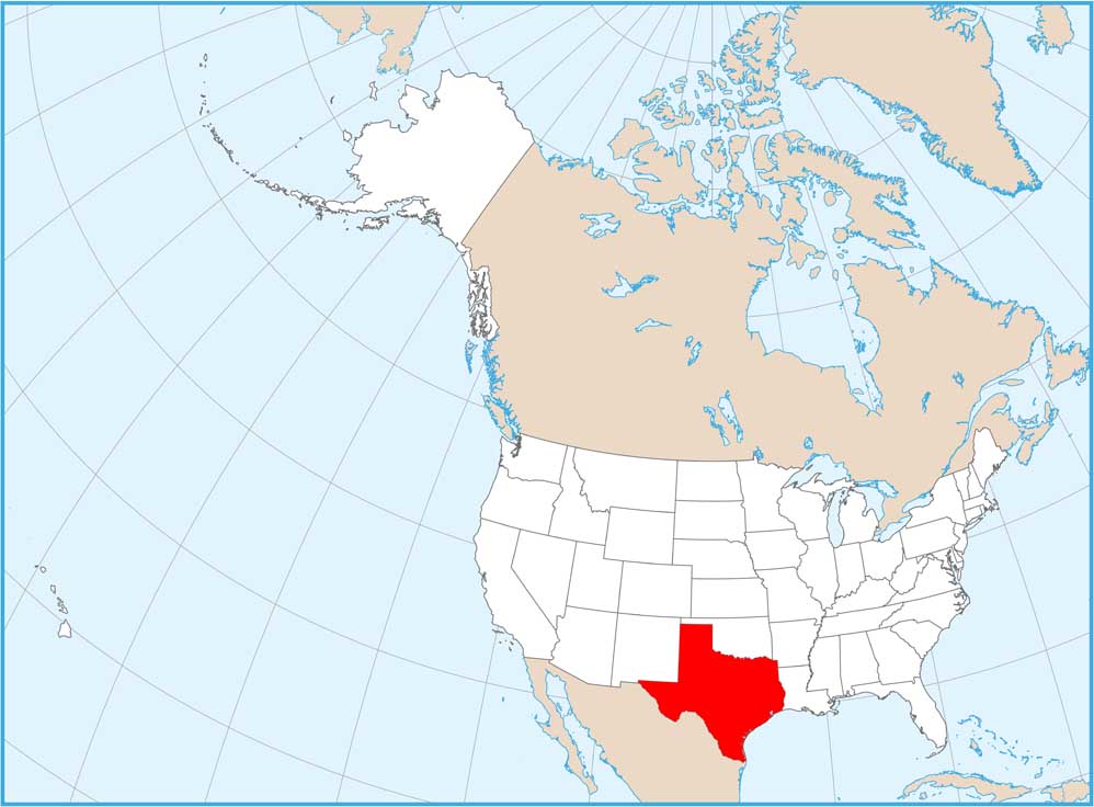
Texas State Maps
Scan our maps of the massive southern state of Texas.


State Population Maps
Select any state map below to view its population density map.


