South Dakota County Map
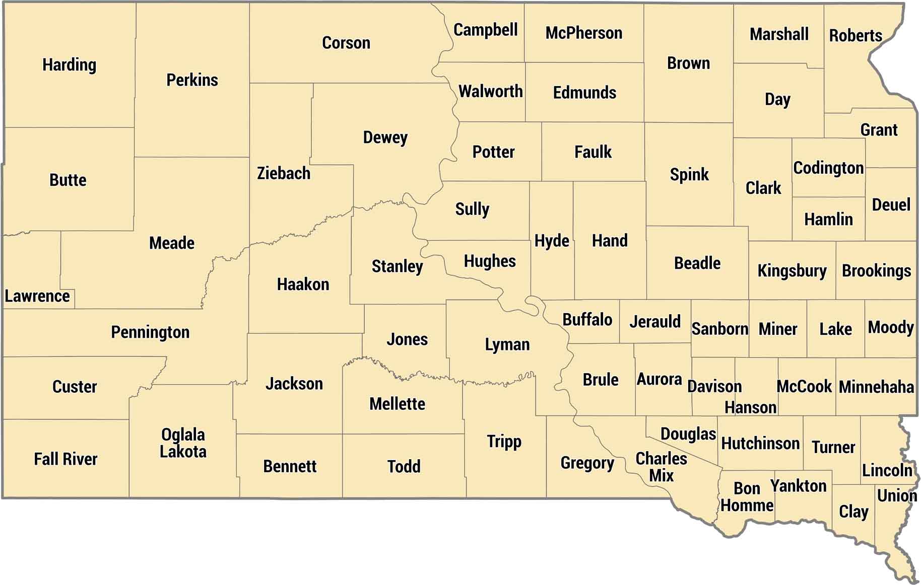
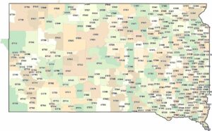
Sixty-six counties split South Dakota between farmland east of the Missouri River and ranch country out west. Minnehaha County has Sioux Falls in the southeast corner. Cross the river and counties get bigger, emptier, with the Badlands and Black Hills dominating the landscape.
Map Information
On the Map
Our table below provides you with population, area, and FIPS code for each county.
|
Name |
Population 2024 |
Total Area (sq mi) |
FIPS Code |
|
Aurora County |
2,752 |
712.8 |
46-003 |
|
Beadle County |
19,459 |
1,264.80 |
46-005 |
|
Bennett County |
3,289 |
1,190.40 |
46-007 |
|
Bon Homme County |
7,071 |
581.6 |
46-009 |
|
Brookings County |
36,359 |
804.9 |
46-011 |
|
Brown County |
37,495 |
1,730.90 |
46-013 |
|
Brule County |
5,261 |
846.5 |
46-015 |
|
Buffalo County |
1,825 |
487.8 |
46-017 |
|
Butte County |
10,891 |
2,266.50 |
46-019 |
|
Campbell County |
1,342 |
770.8 |
46-021 |
|
Charles Mix County |
9,343 |
1,150.20 |
46-023 |
|
Clark County |
3,974 |
967.5 |
46-025 |
|
Clay County |
15,245 |
417.4 |
46-027 |
|
Codington County |
29,278 |
717.2 |
46-029 |
|
Corson County |
3,747 |
2,529.60 |
46-031 |
|
Custer County |
9,330 |
1,559.10 |
46-033 |
|
Davison County |
19,907 |
436.9 |
46-035 |
|
Day County |
5,408 |
1,091.10 |
46-037 |
|
Deuel County |
4,335 |
636.6 |
46-039 |
|
Dewey County |
5,322 |
2,445.30 |
46-041 |
|
Douglas County |
2,849 |
433.7 |
46-043 |
|
Edmunds County |
4,027 |
1,151.10 |
46-045 |
|
Fall River County |
7,359 |
1,749.20 |
46-047 |
|
Faulk County |
2,136 |
1,005.90 |
46-049 |
|
Grant County |
7,618 |
687.5 |
46-051 |
|
Gregory County |
4,110 |
1,053.50 |
46-053 |
|
Haakon County |
1,834 |
1,826.90 |
46-055 |
|
Hamlin County |
6,596 |
538.1 |
46-057 |
|
Hand County |
3,097 |
1,440.20 |
46-059 |
|
Hanson County |
3,477 |
435.4 |
46-061 |
|
Harding County |
1,325 |
2,678.10 |
46-063 |
|
Hughes County |
17,526 |
800.7 |
46-065 |
|
Hutchinson County |
7,416 |
814.4 |
46-067 |
|
Hyde County |
1,215 |
866.2 |
46-069 |
|
Jackson County |
2,737 |
1,871.20 |
46-071 |
|
Jerauld County |
1,689 |
532.6 |
46-073 |
|
Jones County |
874 |
970.9 |
46-075 |
|
Kingsbury County |
5,261 |
863.8 |
46-077 |
|
Lake County |
11,006 |
575.2 |
46-079 |
|
Lawrence County |
28,809 |
800.3 |
46-081 |
|
Lincoln County |
75,244 |
577.7 |
46-083 |
|
Lyman County |
3,721 |
1,706.90 |
46-085 |
|
McCook County |
5,771 |
576.9 |
46-087 |
|
McPherson County |
2,307 |
1,151.50 |
46-089 |
|
Marshall County |
4,395 |
886.2 |
46-091 |
|
Meade County |
30,918 |
3,482.80 |
46-093 |
|
Mellette County |
1,834 |
1,310.90 |
46-095 |
|
Miner County |
2,303 |
571.9 |
46-097 |
|
Minnehaha County |
208,639 |
813.9 |
46-099 |
|
Moody County |
6,529 |
520.8 |
46-101 |
|
Oglala Lakota County |
13,360 |
2,096.30 |
46-102 |
|
Pennington County |
115,979 |
2,784.40 |
46-103 |
|
Perkins County |
2,832 |
2,890.00 |
46-105 |
|
Potter County |
2,402 |
898.7 |
46-107 |
|
Roberts County |
10,283 |
1,135.80 |
46-109 |
|
Sanborn County |
2,392 |
570.4 |
46-111 |
|
Spink County |
6,108 |
1,509.70 |
46-115 |
|
Stanley County |
3,015 |
1,517.20 |
46-117 |
|
Sully County |
1,468 |
1,070.20 |
46-119 |
|
Todd County |
9,172 |
1,390.80 |
46-121 |
|
Tripp County |
5,717 |
1,617.60 |
46-123 |
|
Turner County |
9,087 |
617.7 |
46-125 |
|
Union County |
17,402 |
467.1 |
46-127 |
|
Walworth County |
5,270 |
744.6 |
46-129 |
|
Yankton County |
23,509 |
532.3 |
46-135 |
|
Ziebach County |
2,418 |
1,970.60 |
46-137 |
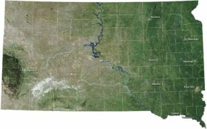
South Dakota State Maps
View maps from the prairies to the Black Hills.
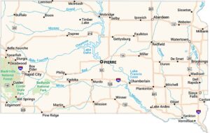


State County Maps
Click on a map below to check out county maps of each state.


