Montana County Map
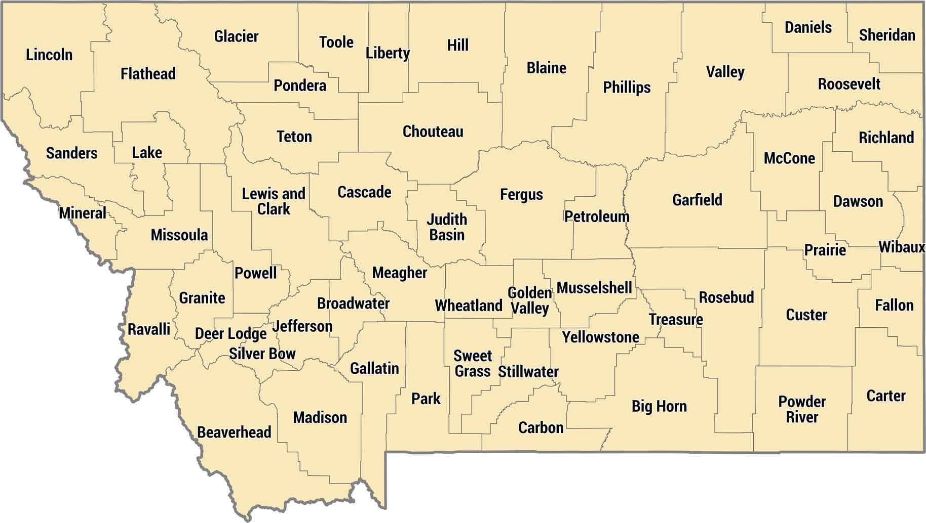
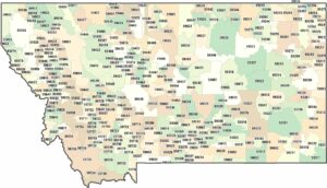
Montana keeps it manageable with 56 counties across Big Sky Country. Eastern counties are wide-open plains, western counties have the Rockies and ski towns. Their county boundaries are often defined by immense distances and major geographical features, such as the Rocky Mountains.
Map Information
On the Map
Our table below provides you with population, area, and FIPS code for each county.
|
Name |
Population 2024 |
Total Area (sq mi) |
FIPS Code |
|
Beaverhead County |
10,006 |
5,572.90 |
30-001 |
|
Big Horn County |
12,796 |
5,016.10 |
30-003 |
|
Blaine County |
6,903 |
4,238.30 |
30-005 |
|
Broadwater County |
8,302 |
1,238.10 |
30-007 |
|
Carbon County |
11,498 |
2,061.40 |
30-009 |
|
Carter County |
1,399 |
3,348.00 |
30-011 |
|
Cascade County |
84,523 |
2,711.40 |
30-013 |
|
Chouteau County |
5,880 |
3,996.70 |
30-015 |
|
Custer County |
11,964 |
3,793.20 |
30-017 |
|
Daniels County |
1,625 |
1,426.40 |
30-019 |
|
Dawson County |
8,731 |
2,383.50 |
30-021 |
|
Deer Lodge County |
9,811 |
741.4 |
30-023 |
|
Fallon County |
2,946 |
1,622.80 |
30-025 |
|
Fergus County |
11,862 |
4,350.00 |
30-027 |
|
Flathead County |
114,527 |
5,256.00 |
30-029 |
|
Gallatin County |
126,984 |
2,633.80 |
30-031 |
|
Garfield County |
1,181 |
4,849.10 |
30-033 |
|
Glacier County |
13,503 |
3,035.90 |
30-035 |
|
Golden Valley County |
863 |
1,175.40 |
30-037 |
|
Granite County |
3,602 |
1,732.80 |
30-039 |
|
Hill County |
16,065 |
2,916.40 |
30-041 |
|
Jefferson County |
13,304 |
1,659.40 |
30-043 |
|
Judith Basin County |
2,111 |
1,870.50 |
30-045 |
|
Lake County |
33,403 |
1,654.00 |
30-047 |
|
Lewis and Clark County |
75,129 |
3,497.50 |
30-049 |
|
Liberty County |
1,934 |
1,447.10 |
30-051 |
|
Lincoln County |
22,184 |
3,674.90 |
30-053 |
|
McCone County |
1,717 |
2,682.00 |
30-055 |
|
Madison County |
9,753 |
3,603.50 |
30-057 |
|
Meagher County |
2,065 |
2,394.70 |
30-059 |
|
Mineral County |
5,195 |
1,223.40 |
30-061 |
|
Missoula County |
122,546 |
2,617.90 |
30-063 |
|
Musselshell County |
5,452 |
1,871.70 |
30-065 |
|
Park County |
18,074 |
2,813.20 |
30-067 |
|
Petroleum County |
525 |
1,674.50 |
30-069 |
|
Phillips County |
4,214 |
5,212.10 |
30-071 |
|
Pondera County |
6,078 |
1,641.50 |
30-073 |
|
Powder River County |
1,734 |
3,298.80 |
30-075 |
|
Powell County |
7,120 |
2,332.30 |
30-077 |
|
Prairie County |
1,112 |
1,742.40 |
30-079 |
|
Ravalli County |
48,187 |
2,400.30 |
30-081 |
|
Richland County |
11,028 |
2,103.30 |
30-083 |
|
Roosevelt County |
10,197 |
2,369.20 |
30-085 |
|
Rosebud County |
8,194 |
5,025.20 |
30-087 |
|
Sanders County |
13,895 |
2,789.90 |
30-089 |
|
Sheridan County |
3,448 |
1,704.80 |
30-091 |
|
Silver Bow County |
36,134 |
718.6 |
30-093 |
|
Stillwater County |
9,450 |
1,805.90 |
30-095 |
|
Sweet Grass County |
3,757 |
1,862.30 |
30-097 |
|
Teton County |
6,444 |
2,291.90 |
30-099 |
|
Toole County |
5,153 |
1,945.10 |
30-101 |
|
Treasure County |
739 |
984.4 |
30-103 |
|
Valley County |
7,434 |
5,061.80 |
30-105 |
|
Wheatland County |
2,058 |
1,427.50 |
30-107 |
|
Wibaux County |
911 |
889.3 |
30-109 |
|
Yellowstone County |
171,583 |
2,648.90 |
30-111 |
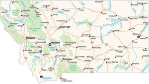
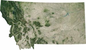
Montana State Maps
Wander through this wide-open state with our map collection.


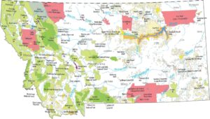


State County Maps
Click on a map below to check out county maps of each state.


