Missouri Physical Map
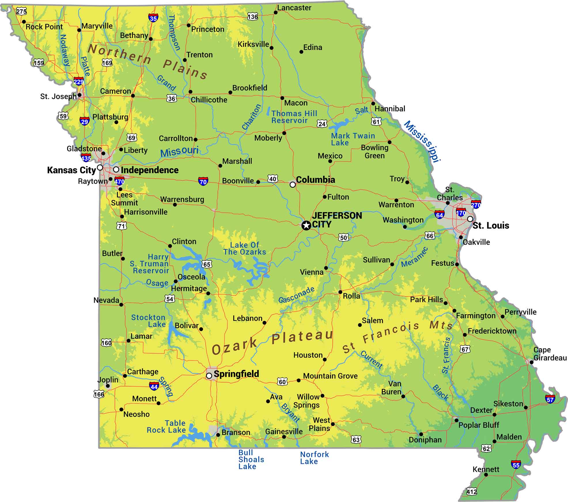
Missouri splits down the middle. There is the rugged Ozark highlands in the south. Then, everything flattens into farmland up north. The Missouri River cuts across the state east to west while the Mississippi forms the eastern border. Our physical map of Missouri shows the two sides of this state.
Map Information
On the Map
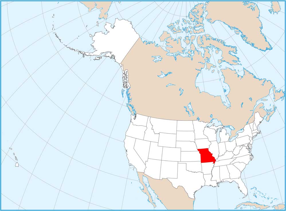
Physical State Maps
Select any state map below to view its physical map.


Missouri State Maps
Check out state maps of the Show-Me State.


