Massachusetts County Map
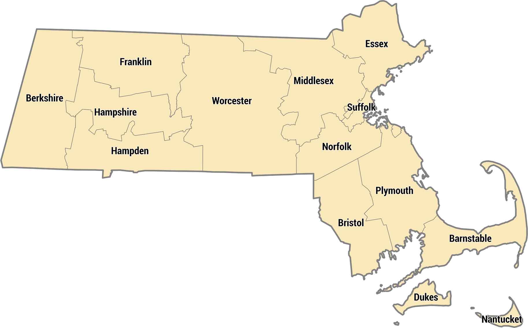
Check out Massachusetts’ 14 counties. Our county map shows how coastal areas form tighter divisions, while western counties cover larger spaces. Middlesex and Suffolk counties hold Boston and the inner suburbs. Out west, Berkshire County is all mountains and small towns near the New York border.
Map Information
On the Map
Our table below provides you with population, area, and FIPS code for each county.
|
Name |
Population 2024 |
Total Area (sq mi) |
FIPS Code |
|
Barnstable County |
232,570 |
1,305.50 |
25-001 |
|
Berkshire County |
128,726 |
946.5 |
25-003 |
|
Bristol County |
588,593 |
691.1 |
25-005 |
|
Dukes County |
21,061 |
491 |
25-007 |
|
Essex County |
823,938 |
828.5 |
25-009 |
|
Franklin County |
70,871 |
724.5 |
25-011 |
|
Hampden County |
464,151 |
634.1 |
25-013 |
|
Hampshire County |
165,399 |
545.3 |
25-015 |
|
Middlesex County |
1,668,956 |
846.9 |
25-017 |
|
Nantucket County |
14,670 |
303.7 |
25-019 |
|
Norfolk County |
740,754 |
444.3 |
25-021 |
|
Plymouth County |
542,090 |
1,093.30 |
25-023 |
|
Suffolk County |
793,144 |
120.2 |
25-025 |
|
Worcester County |
881,248 |
1,579.20 |
25-027 |
Massachusetts State Maps
Here’s our state maps of Massachusetts


State County Maps
Click on a map below to check out county maps of each state.


