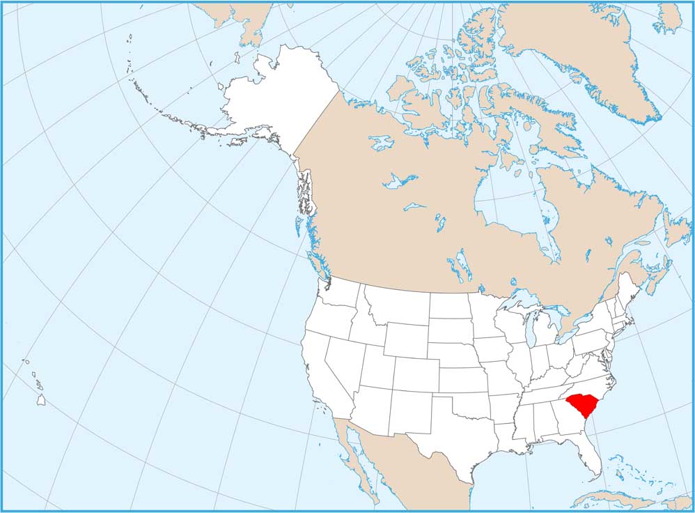
South Carolina Physical Map
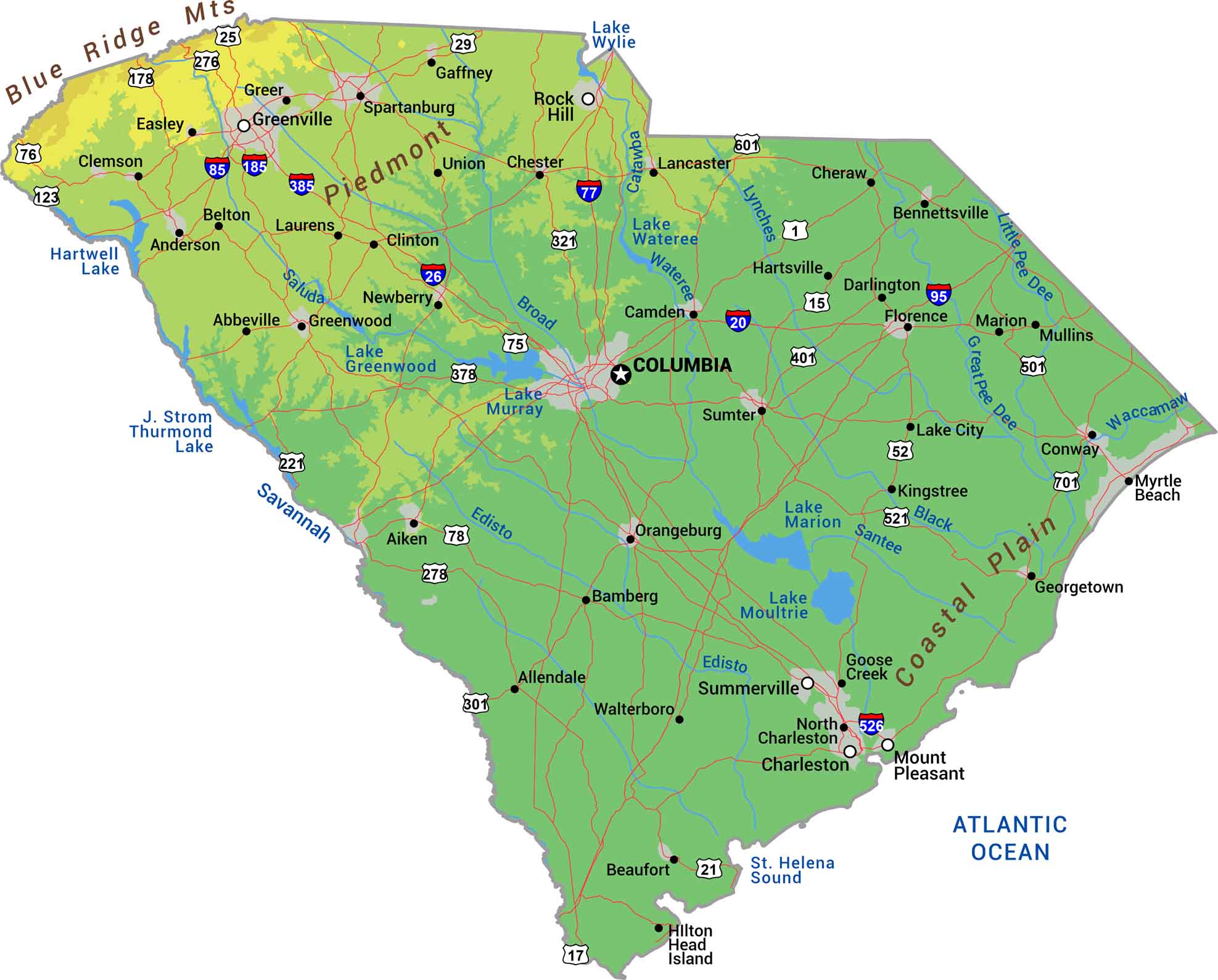
Our physical map of South Carolina shows it rising gently from coast to foothills. The Blue Ridge clips the far northwest corner with peaks barely breaking into the state. The Piedmont brings rolling hills through the middle before dropping to the flat Coastal Plain in the southeast.
Map Information
On the Map
Physical State Maps
Select any state map below to view its physical map.


South Carolina State Maps
Explore maps across the Palmetto State.


