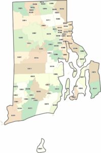
Rhode Island Outline Map

Our Rhode Island outline map shows the detailed shoreline and smooth inner border of the state. Its Atlantic Ocean coastline is full of coves, islands, and narrow inlets. Even though it’s the smallest state, its outline is intricate from its water.
Map Information
State Outline Maps
Click on a map below to check out outline maps of each state.


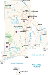
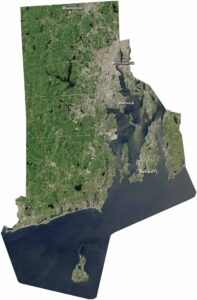
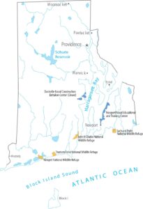
Rhode Island State Maps
Here are our maps of this compact coastal state.