Wyoming County Map
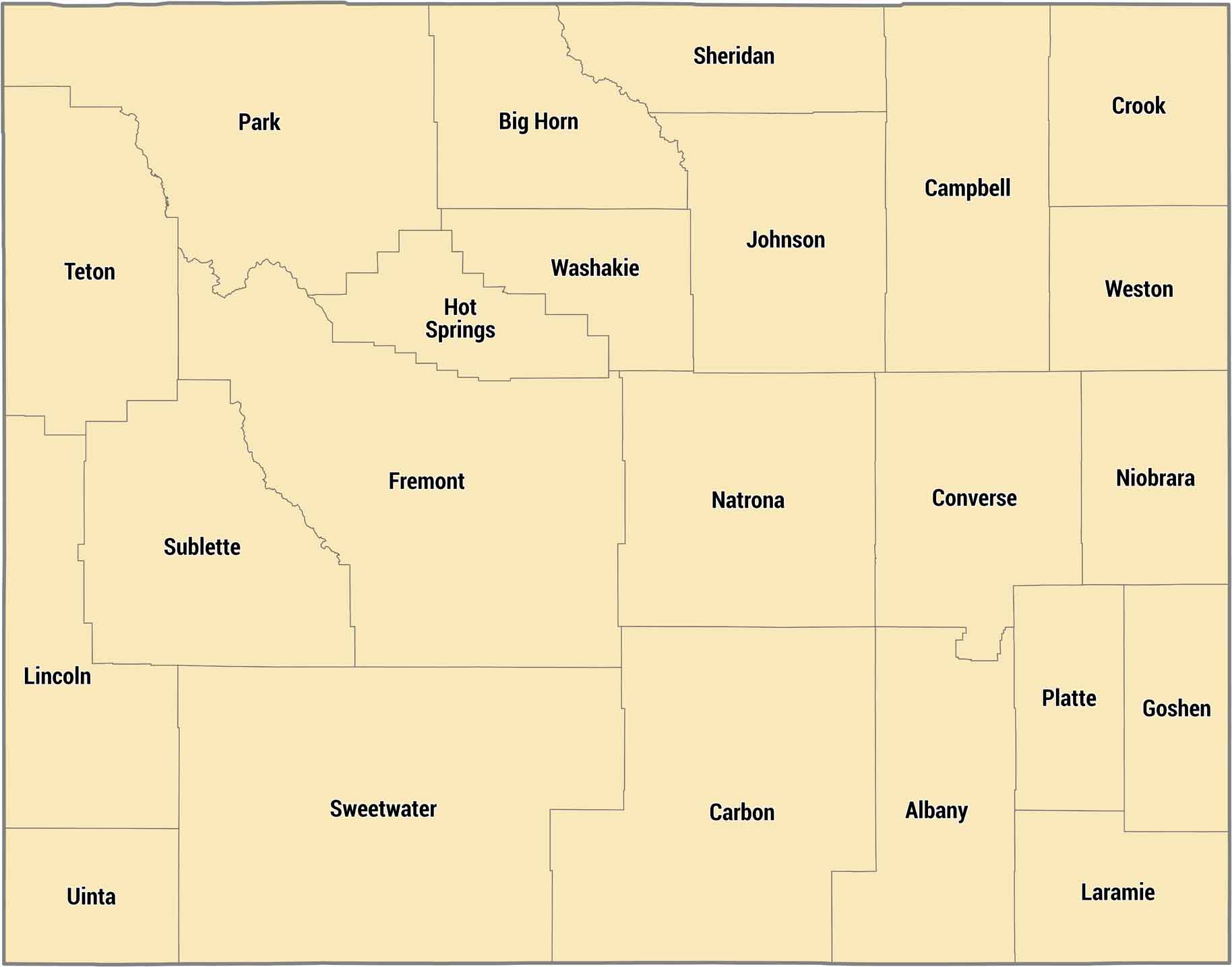
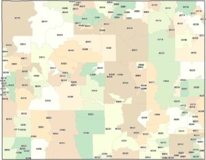
Twenty-three counties cover Wyoming’s mountains, basins, and high plains. Laramie County down south has Cheyenne, but most counties are incredibly rural. Teton County includes Jackson Hole and Grand Teton. Here’s where tourism and ranching exist side-by-side.
Map Information
On the Map
Our table below provides you with population, area, and FIPS code for each county.
|
Name |
Population 2024 |
Total Area (sq mi) |
FIPS Code |
|
Albany County |
39,288 |
4,308.70 |
56-001 |
|
Big Horn County |
12,084 |
3,158.30 |
56-003 |
|
Campbell County |
47,946 |
4,806.30 |
56-005 |
|
Carbon County |
14,250 |
7,963.90 |
56-007 |
|
Converse County |
13,766 |
4,265.00 |
56-009 |
|
Crook County |
7,775 |
2,865.30 |
56-011 |
|
Fremont County |
39,721 |
9,265.70 |
56-013 |
|
Goshen County |
12,635 |
2,232.20 |
56-015 |
|
Hot Springs County |
4,625 |
2,006.40 |
56-017 |
|
Johnson County |
8,803 |
4,174.60 |
56-019 |
|
Laramie County |
101,783 |
2,687.50 |
56-021 |
|
Lincoln County |
21,000 |
4,094.60 |
56-023 |
|
Natrona County |
80,410 |
5,375.60 |
56-025 |
|
Niobrara County |
2,301 |
2,627.90 |
56-027 |
|
Park County |
31,082 |
6,965.10 |
56-029 |
|
Platte County |
8,512 |
2,110.80 |
56-031 |
|
Sheridan County |
32,978 |
2,526.40 |
56-033 |
|
Sublette County |
8,965 |
4,935.60 |
56-035 |
|
Sweetwater County |
41,273 |
10,491.10 |
56-037 |
|
Teton County |
23,272 |
4,217.20 |
56-039 |
|
Uinta County |
20,621 |
2,088.10 |
56-041 |
|
Washakie County |
7,662 |
2,242.70 |
56-043 |
|
Weston County |
6,866 |
2,400.00 |
56-045 |
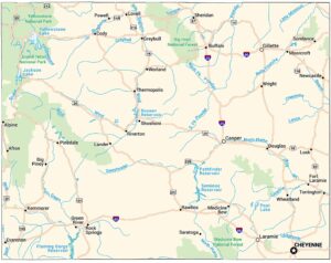
Wyoming State Maps
Check out our maps across wide plains and peaks.


State County Maps
Click on a map below to check out county maps of each state.


