Oklahoma County Map
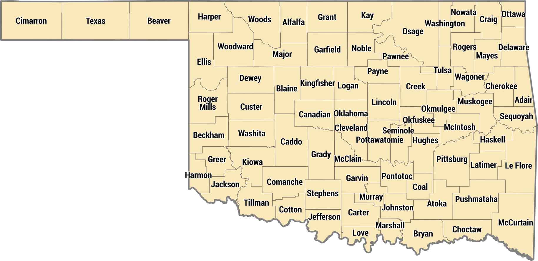
Oklahoma’s counties span prairie, hills, forests, and open spaces. Our county map highlights how the state stretches far to the west. Seventy-seven counties spread across Oklahoma from the panhandle to the Ozark foothills. Eastern counties get green and hilly, western counties are pure Great Plains.
Map Information
On the Map
Our table below provides you with population, area, and FIPS code for each county.
|
Name |
Population 2025 |
Total Area (sq mi) |
FIPS Code |
|
Adair County |
19,821 |
577 |
40-001 |
|
Alfalfa County |
5,712 |
881.3 |
40-003 |
|
Atoka County |
14,600 |
989.9 |
40-005 |
|
Beaver County |
5,025 |
1,817.50 |
40-007 |
|
Beckham County |
22,248 |
903.9 |
40-009 |
|
Blaine County |
8,573 |
938.8 |
40-011 |
|
Bryan County |
50,305 |
943.9 |
40-013 |
|
Caddo County |
26,337 |
1,290.20 |
40-015 |
|
Canadian County |
181,760 |
905.6 |
40-017 |
|
Carter County |
49,135 |
833.8 |
40-019 |
|
Cherokee County |
48,729 |
776.3 |
40-021 |
|
Choctaw County |
14,174 |
799.6 |
40-023 |
|
Cimarron County |
2,133 |
1,840.90 |
40-025 |
|
Cleveland County |
303,952 |
558.1 |
40-027 |
|
Coal County |
5,414 |
521.3 |
40-029 |
|
Comanche County |
121,396 |
1,083.70 |
40-031 |
|
Cotton County |
5,503 |
642 |
40-033 |
|
Craig County |
14,506 |
762.8 |
40-035 |
|
Creek County |
73,971 |
969.8 |
40-037 |
|
Custer County |
28,266 |
1,002.10 |
40-039 |
|
Delaware County |
41,771 |
792.3 |
40-041 |
|
Dewey County |
4,268 |
1,008.20 |
40-043 |
|
Ellis County |
3,601 |
1,231.90 |
40-045 |
|
Garfield County |
62,007 |
1,060.10 |
40-047 |
|
Garvin County |
26,149 |
813.7 |
40-049 |
|
Grady County |
58,353 |
1,104.90 |
40-051 |
|
Grant County |
4,123 |
1,003.60 |
40-053 |
|
Greer County |
5,433 |
643.6 |
40-055 |
|
Harmon County |
2,315 |
538.7 |
40-057 |
|
Harper County |
3,209 |
1,041.00 |
40-059 |
|
Haskell County |
11,811 |
625.3 |
40-061 |
|
Hughes County |
13,371 |
814.9 |
40-063 |
|
Jackson County |
24,541 |
804.2 |
40-065 |
|
Jefferson County |
5,374 |
774.1 |
40-067 |
|
Johnston County |
10,293 |
658.2 |
40-069 |
|
Kay County |
43,437 |
945 |
40-071 |
|
Kingfisher County |
15,820 |
906 |
40-073 |
|
Kiowa County |
8,257 |
1,030.70 |
40-075 |
|
Latimer County |
9,509 |
729.1 |
40-077 |
|
Le Flore County |
49,854 |
1,608.60 |
40-079 |
|
Lincoln County |
34,972 |
965.7 |
40-081 |
|
Logan County |
53,860 |
748.8 |
40-083 |
|
Love County |
10,423 |
532.3 |
40-085 |
|
McClain County |
48,434 |
580.3 |
40-087 |
|
McCurtain County |
30,805 |
1,902.40 |
40-089 |
|
McIntosh County |
19,710 |
712.3 |
40-091 |
|
Major County |
7,569 |
957.9 |
40-093 |
|
Marshall County |
16,147 |
426.9 |
40-095 |
|
Mayes County |
40,144 |
683.5 |
40-097 |
|
Murray County |
13,754 |
425.1 |
40-099 |
|
Muskogee County |
66,752 |
839.8 |
40-101 |
|
Noble County |
10,896 |
742.5 |
40-103 |
|
Nowata County |
9,561 |
580.8 |
40-105 |
|
Okfuskee County |
11,364 |
628.9 |
40-107 |
|
Oklahoma County |
816,490 |
718.4 |
40-109 |
|
Okmulgee County |
37,084 |
702.3 |
40-111 |
|
Osage County |
46,495 |
2,304.00 |
40-113 |
|
Ottawa County |
30,404 |
484.6 |
40-115 |
|
Pawnee County |
16,111 |
594.8 |
40-117 |
|
Payne County |
84,199 |
697 |
40-119 |
|
Pittsburg County |
43,395 |
1,377.80 |
40-121 |
|
Pontotoc County |
38,310 |
725.2 |
40-123 |
|
Pottawatomie County |
74,446 |
793.4 |
40-125 |
|
Pushmataha County |
10,800 |
1,422.90 |
40-127 |
|
Roger Mills County |
3,304 |
1,146.40 |
40-129 |
|
Rogers County |
101,371 |
711.5 |
40-131 |
|
Seminole County |
23,351 |
640.5 |
40-133 |
|
Sequoyah County |
40,555 |
714.1 |
40-135 |
|
Stephens County |
44,075 |
891.4 |
40-137 |
|
Texas County |
20,577 |
2,048.70 |
40-139 |
|
Tillman County |
6,736 |
879.2 |
40-141 |
|
Tulsa County |
693,514 |
587 |
40-143 |
|
Wagoner County |
91,257 |
590.7 |
40-145 |
|
Washington County |
54,060 |
424.3 |
40-147 |
|
Washita County |
10,839 |
1,008.80 |
40-149 |
|
Woods County |
8,582 |
1,290.00 |
40-151 |
|
Woodward County |
19,991 |
1,246.10 |
40-153 |
Oklahoma State Maps
Here is our map collection of the Sooner State.


State County Maps
Click on a map below to check out county maps of each state.


