New Jersey County Map
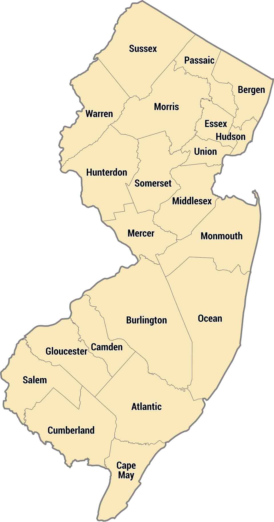
New Jersey’s counties pack tightly along the coast, central corridor, and Appalachian foothills. Bergen County across from Manhattan is all suburbs, while Sussex County in the northwest has actual farms and forests. Shore counties like Monmouth and Ocean get packed with tourists every summer.
Map Information
On the Map
Our table below provides you with population, area, and FIPS code for each county.
|
Name |
Population 2024 |
Total Area (sq mi) |
FIPS Code |
|
Atlantic County |
279,114 |
671.8 |
34-001 |
|
Bergen County |
978,641 |
246.4 |
34-003 |
|
Burlington County |
475,515 |
820.2 |
34-005 |
|
Camden County |
533,988 |
227.4 |
34-007 |
|
Cape May County |
93,875 |
620.3 |
34-009 |
|
Cumberland County |
155,678 |
677.8 |
34-011 |
|
Essex County |
881,527 |
129.4 |
34-013 |
|
Gloucester County |
311,783 |
336.8 |
34-015 |
|
Hudson County |
736,185 |
62.4 |
34-017 |
|
Hunterdon County |
131,708 |
437.4 |
34-019 |
|
Mercer County |
392,138 |
228.9 |
34-021 |
|
Middlesex County |
890,119 |
322.9 |
34-023 |
|
Monmouth County |
647,520 |
665.5 |
34-025 |
|
Morris County |
523,053 |
481.5 |
34-027 |
|
Ocean County |
666,434 |
914.8 |
34-029 |
|
Passaic County |
526,597 |
198.4 |
34-031 |
|
Salem County |
65,874 |
372.5 |
34-033 |
|
Somerset County |
357,467 |
305 |
34-035 |
|
Sussex County |
147,444 |
535.4 |
34-037 |
|
Union County |
594,160 |
105.5 |
34-039 |
|
Warren County |
112,031 |
362.6 |
34-041 |
New Jersey State Maps
Explore maps from the Garden State.


State County Maps
Click on a map below to check out county maps of each state.


