Nevada County Map
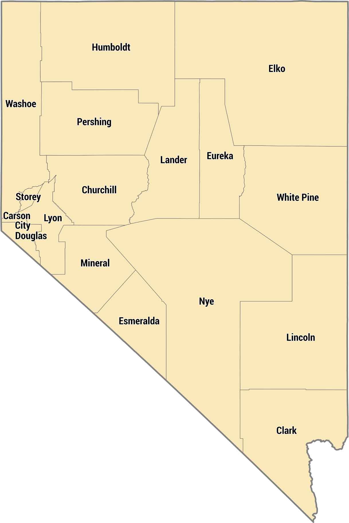
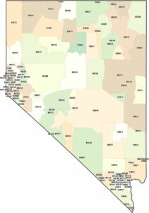
Nevada only has 17 counties, but some are absolutely massive. Clark County in the south has Las Vegas and most of the state’s population. Northern counties like Elko and Humboldt are mining and ranch country. It only has tiny towns scattered across the desert.
Map Information
On the Map
Our table below provides you with population, area, and FIPS code for each county.
|
Name |
Population 2024 |
Total Area (sq mi) |
FIPS Code |
|
Churchill County |
26,033 |
5,024.10 |
32-001 |
|
Clark County |
2,398,871 |
8,060.90 |
32-003 |
|
Douglas County |
49,564 |
737.6 |
32-005 |
|
Elko County |
54,363 |
17,202.20 |
32-007 |
|
Esmeralda County |
720 |
3,589.00 |
32-009 |
|
Eureka County |
1,877 |
4,179.90 |
32-011 |
|
Humboldt County |
17,116 |
9,657.80 |
32-013 |
|
Lander County |
5,785 |
5,519.50 |
32-015 |
|
Lincoln County |
4,345 |
10,637.10 |
32-017 |
|
Lyon County |
63,718 |
2,024.20 |
32-019 |
|
Mineral County |
4,475 |
3,813.00 |
32-021 |
|
Nye County |
55,990 |
18,198.50 |
32-023 |
|
Pershing County |
6,536 |
6,067.40 |
32-027 |
|
Storey County |
4,112 |
264.7 |
32-029 |
|
Washoe County |
507,280 |
6,541.10 |
32-031 |
|
White Pine County |
8,534 |
8,895.70 |
32-033 |
|
Carson City |
58,148 |
157.2 |
32-510 |
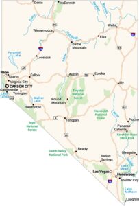
Nevada State Maps
Click on one of our maps of the Silver State.


State County Maps
Click on a map below to check out county maps of each state.


