Maryland County Map
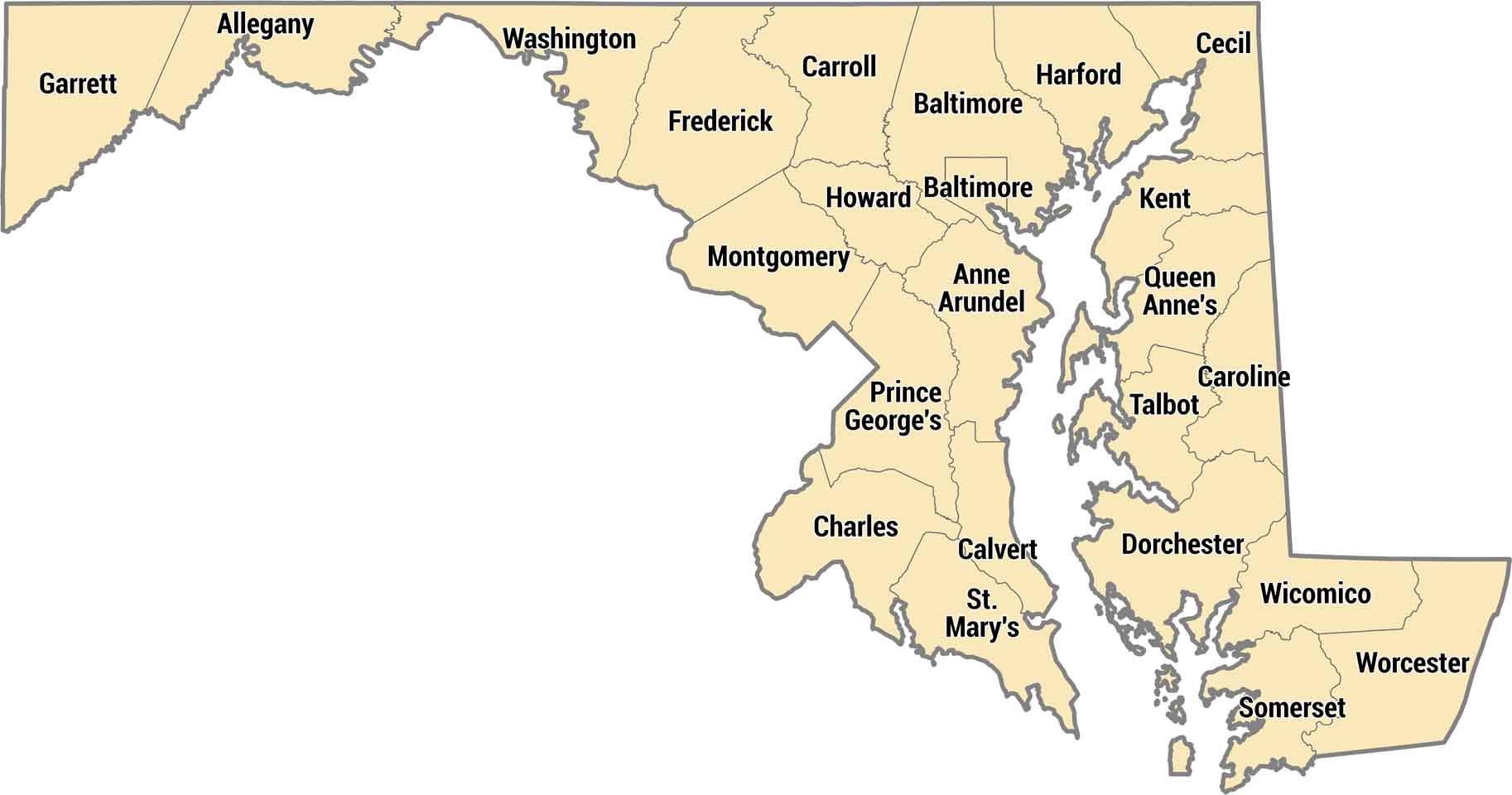
Maryland has 23 counties plus Baltimore as an independent city. The Eastern Shore counties sit across the Chesapeake Bay, rural and flat. Western Maryland counties stretch into the Appalachian Mountains, a totally different landscape from the coast.
Map Information
On the Map
Our table below provides you with population, area, and FIPS code for each county.
|
Name |
Population 2024 |
Total Area (sq mi) |
FIPS Code |
|
Allegany County |
67,097 |
427.9 |
24-001 |
|
Anne Arundel County |
602,350 |
587.8 |
24-003 |
|
Baltimore County |
852,425 |
681.7 |
24-005 |
|
Calvert County |
94,913 |
345.1 |
24-009 |
|
Caroline County |
34,248 |
325.9 |
24-011 |
|
Carroll County |
177,108 |
452.7 |
24-013 |
|
Cecil County |
106,305 |
417.8 |
24-015 |
|
Charles County |
174,478 |
642.9 |
24-017 |
|
Dorchester County |
33,138 |
983 |
24-019 |
|
Frederick County |
299,317 |
667.4 |
24-021 |
|
Garrett County |
28,393 |
657.8 |
24-023 |
|
Harford County |
265,514 |
526.7 |
24-025 |
|
Howard County |
339,668 |
253.4 |
24-027 |
|
Kent County |
19,557 |
413.4 |
24-029 |
|
Montgomery County |
1,082,273 |
506.9 |
24-031 |
|
Prince George’s County |
966,629 |
498.8 |
24-033 |
|
Queen Anne’s County |
53,688 |
510.7 |
24-035 |
|
St. Mary’s County |
116,469 |
764.2 |
24-037 |
|
Somerset County |
25,241 |
610.3 |
24-039 |
|
Talbot County |
38,244 |
476.8 |
24-041 |
|
Washington County |
157,228 |
467.3 |
24-043 |
|
Wicomico County |
106,329 |
400.2 |
24-045 |
|
Worcester County |
54,337 |
694.9 |
24-047 |
|
Baltimore City |
568,271 |
92 |
24-510 |
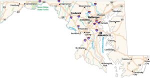
Maryland State Maps
See the geography of Maryland with our state maps


State County Maps
Click on a map below to check out county maps of each state.


