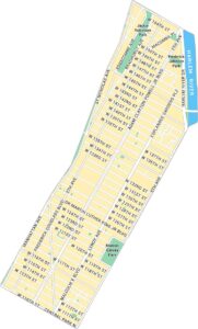
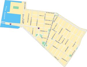
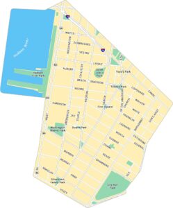
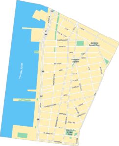
Battery Park Map, New York
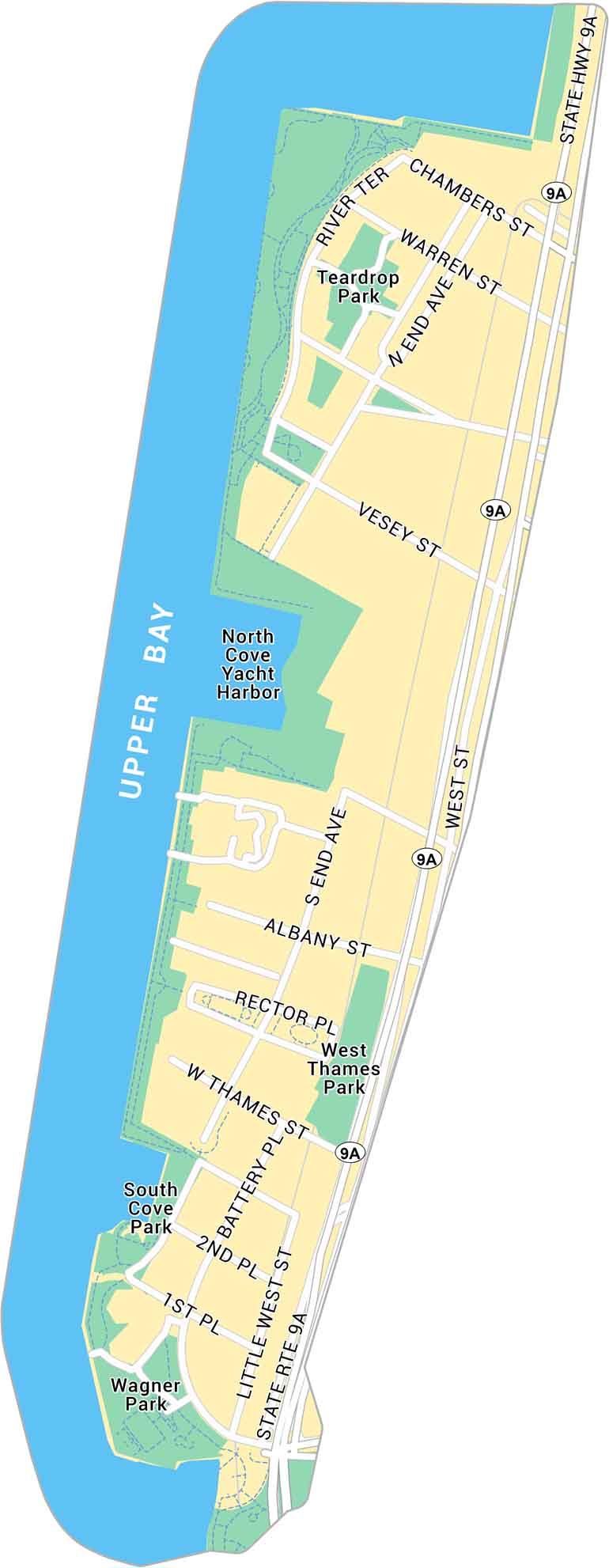
Here’s our map of Battery Park at Manhattan’s southern tip. It includes Teardrop Park, local roads, and green space that frame the skyline.
Map Information
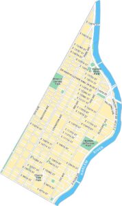
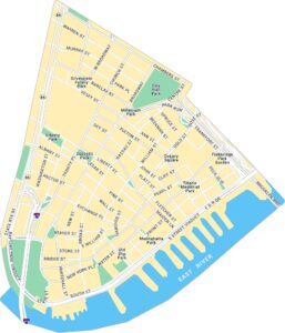
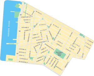
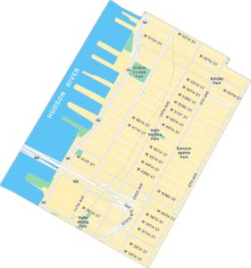
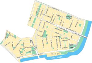
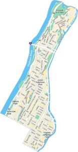
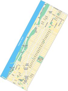
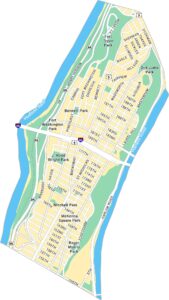
Manhattan Neighborhood Maps
See our neighborhood maps for a closer look of the city.
On the Map
Interstates/Highways: State Rte 9A, State Hwy 9A Major Roads: West St, Chambers St, Vesey St, Battery Pl, Albany St, River Ter, End Ave, Warren St, Rector Pl, Thames St, 1st Pl, 2nd Pl, Little West St Bays/Reservoirs: Upper Bay Parks: Wagner Park, South Cove Park, Teardrop Park, West Thames Park Landmarks: North Cove Yacht HarborCity Maps of New York
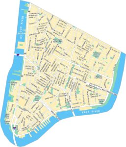
Here are the city maps that define New York


