Lower Manhattan Map, New York
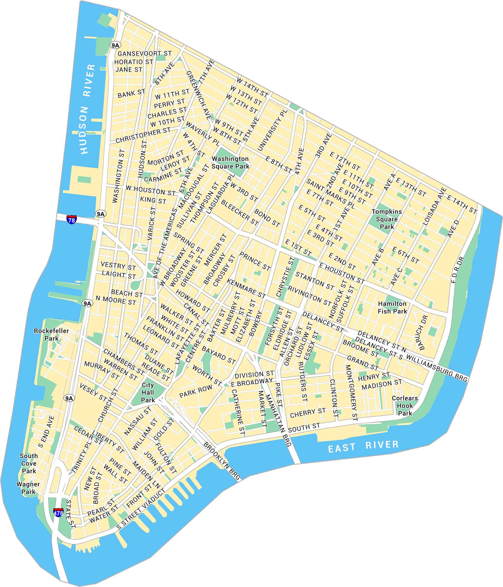
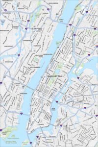
Lower Manhattan sits at the southern tip of New York City. It’s home to some of the city’s most iconic landmarks and waterfront views. Our map shows its streets, parks, and the dense mix of neighborhoods that define downtown.
Map Information
Manhattan Neighborhood Maps
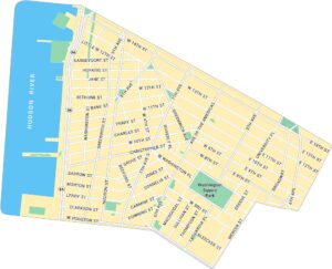
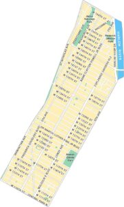
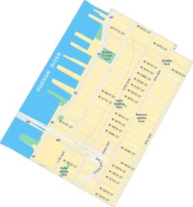
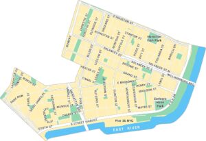
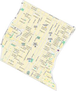
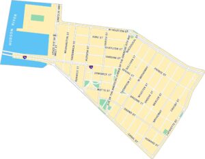
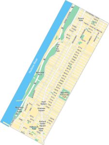
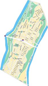
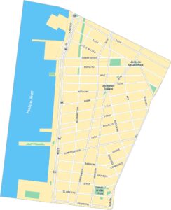
See our neighborhood maps for a closer look of the city.
On the Map
Interstates/Highways: I-78, State Rte 9A Major Roads: Broadway, Canal St, Houston St, Bowery, 14th St, 6th Ave, 5th Ave, 8th Ave, 7th Ave, Varick St, Hudson St, West St, Chambers St, Wall St, Water St, Delancey St, Allen St, Pike St, Lafayette St, Park Row Major Rivers: Hudson River, East River Parks: Washington Square Park, Tompkins Square Park, City Hall Park, Rockefeller Park, South Cove Park, Wagner Park, Hamilton Fish Park, Corlears Hook Park Bridges: Brooklyn Brg, Manhattan Brg, Williamsburg BrgCity Maps of New York
Here are the city maps that define New York